Cotton End
| Cotton End | |
|---|---|
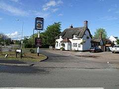 The Bell public house | |
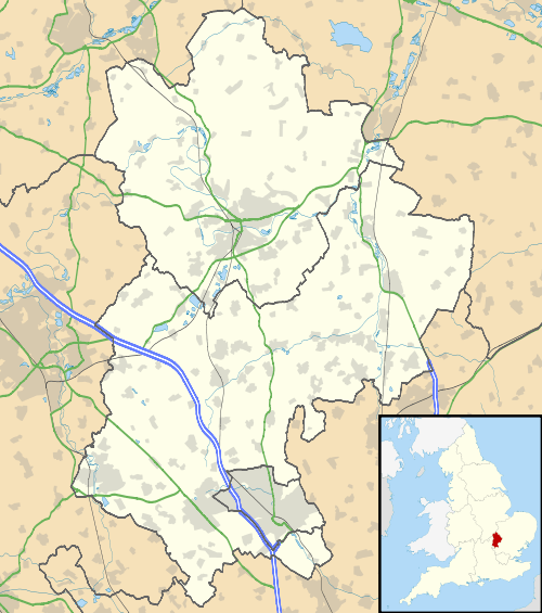 Cotton End Cotton End shown within Bedfordshire | |
| Population | 838 |
| OS grid reference | TL084404 |
| Civil parish | |
| Unitary authority | |
| Ceremonial county | |
| Region | |
| Country | England |
| Sovereign state | United Kingdom |
| Post town | BEDFORD |
| Postcode district | MK45 |
| Dialling code | 01234 |
| Police | Bedfordshire |
| Fire | Bedfordshire and Luton |
| Ambulance | East of England |
| EU Parliament | East of England |
| UK Parliament | |
Cotton End is a small village located near the centre of the Eastcotts parish on the outskirts of Bedford.
Officially, Cotton End is one of the villages of Eastcotts, and is the centre-most settlement within the civil parish. Ordnance Survey maps from the 1880s show its name as 'Cardington Cotton End'.[1]
There is a primary school, a Bapist Church, a village hall and a pub.
The Baptist chapel was founded here in 1777. In 1912, Cotton End was described as a scattered hamlet with a school and a farm.[2] It lies further down the A600 road from Shortstown.
A new woodland created by the Forest of Marston Vale in 2005 called Shocott Spring.
References
- ↑ https://www.old-maps.co.uk
- ↑ Page, William (1912). A History of the County of Bedford: Volume 3. pp. 233–238.
External links
![]()
This article is issued from
Wikipedia.
The text is licensed under Creative Commons - Attribution - Sharealike.
Additional terms may apply for the media files.