Halmstad
| Halmstad | ||
|---|---|---|
   | ||
| ||
 Halmstad 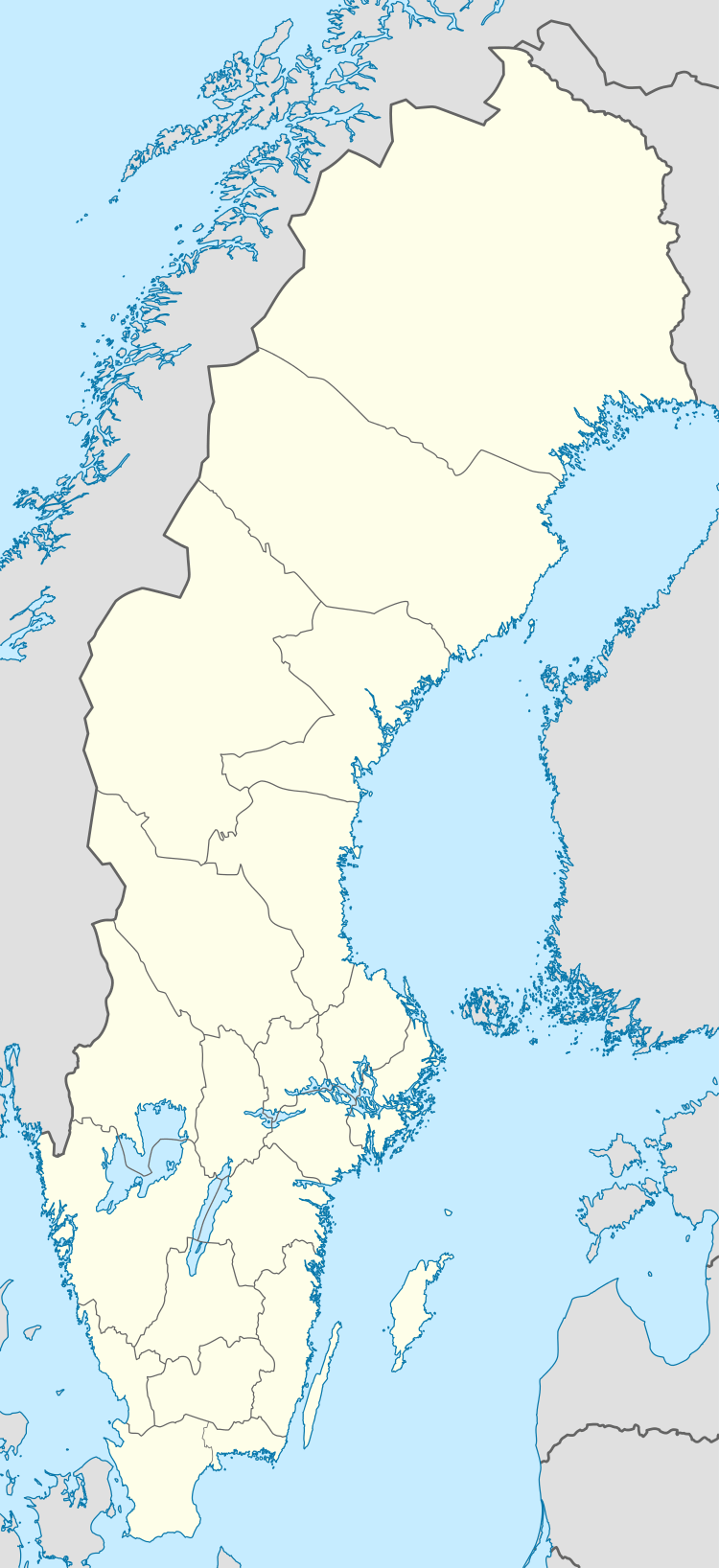 Halmstad | ||
| Coordinates: 56°40′26″N 12°51′26″E / 56.67389°N 12.85722°ECoordinates: 56°40′26″N 12°51′26″E / 56.67389°N 12.85722°E | ||
| Country | Sweden | |
| Province | Halland | |
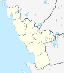
| County | Halland County | |
| Municipality | Halmstad Municipality | |
| Area[1] | ||
| • City | 34.13 km2 (13.18 sq mi) | |
| • Metro | 1,018.99 km2 (393.43 sq mi) | |
| Elevation | 11 m (36 ft) | |
| Population (2014)[1] | ||
| • City | 66,124[2] | |
| • Density | 1,716/km2 (4,440/sq mi) | |
| • Metro | 95,537 | |
| Time zone | UTC+1 (CET) | |
| • Summer (DST) | UTC+2 (CEST) | |
| Postal code | 30x xx | |
| Area code(s) | (+46) 35 | |
| Website |
www | |
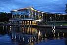
Halmstad (Swedish: [ˈhalmsta]) is a port, university, industrial and recreational city at the mouth of the Nissan river, in the province of Halland on the Swedish west coast. Halmstad is the seat of Halmstad Municipality and the capital of Halland County. The city had a population of 92,797 in 2012,[1] out of a municipal total of over 90,000 (18th most populous - 2012). Halmstad is Sweden's 20th-largest city by population and located about midway between Gothenburg (the second most populous) and Malmö (the third). It is Europe's northernmost city with a lot of timber framing architecture.
History
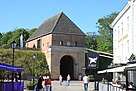
Halmstad, at the time part of the Kingdom of Denmark, received its first city charter in 1307, and the city celebrated its 700th anniversary in 2007. The oldest remains of that first town are to be found at "Övraby" upstream on Nissan, just south of and quite close to the present day regiment buildings. The remains of the church can still be seen today between a defunct brick industry and a former landfill.
In the 1320s the town moved to the present day town centre. At this time there were two monasteries in the town and during the 15th century the St. Nikolai church was built. Halland was the object of numerous battles, sieges and occupations by Swedish troops.
During the Kalmar Union – a Nordic Union between Sweden, Norway and Denmark which lasted between 1397 and 1523 – it was in Halmstad that the Union King was to be finally selected.
At the end of the 16th century Christian IV of Denmark ordered the fortification of Halmstad and in the beginning of the 17th century to build a crescent-shaped fort with Nissan as part of the defences.
1619 is an important date in the history of Halmstad. In March of that year, King Gustav II Adolf of Sweden and Christian IV met at the castle. Over a period of a week they celebrated the payment in full of the Älvsborg ransom. August of the same year saw the destruction of Halmstad by fire.
Halland became part of Sweden for a period of thirty years when peace was declared at the Treaty of Brömsebro in 1645 and Danish rule ended. The Treaty of Roskilde in 1658 made this acquisition permanent. Sweden defeated Denmark in the Battle of Fyllebro which took place in 1676 just outside Halmstad.
The first May Day demonstration in Sweden was held in Halmstad in 1897.
The population grew from 48,800 in 1990 to 58,577 in 2010.
In September 2007 the city hosted the Solheim Cup, which was played at the Halmstad Golfklubb.
In 2011 Halmstad was the final port of the Tall Ships' Races.
Climate
Halmstad has the south Scandinavian variety of the relatively wet humid continental climate (Dfb) with warm summers and cold winters, closely bordering on an oceanic climate (Cfb).
| Climate data for Halmstad | |||||||||||||
|---|---|---|---|---|---|---|---|---|---|---|---|---|---|
| Month | Jan | Feb | Mar | Apr | May | Jun | Jul | Aug | Sep | Oct | Nov | Dec | Year |
| Record high °C (°F) | 9.6 (49.3) |
13.2 (55.8) |
19.3 (66.7) |
28.1 (82.6) |
29.1 (84.4) |
34.2 (93.6) |
34.0 (93.2) |
33.0 (91.4) |
27.6 (81.7) |
21.4 (70.5) |
14.9 (58.8) |
11.0 (51.8) |
34.0 (93.2) |
| Average high °C (°F) | 2.0 (35.6) |
2.4 (36.3) |
6.3 (43.3) |
12.7 (54.9) |
17.1 (62.8) |
20.0 (68) |
22.8 (73) |
21.8 (71.2) |
17.7 (63.9) |
11.7 (53.1) |
7.3 (45.1) |
3.8 (38.8) |
12.1 (53.8) |
| Daily mean °C (°F) | −0.2 (31.6) |
−0.2 (31.6) |
2.5 (36.5) |
7.6 (45.7) |
12.1 (53.8) |
15.1 (59.2) |
18.0 (64.4) |
17.4 (63.3) |
14.6 (58.3) |
8.5 (47.3) |
5.0 (41) |
1.6 (34.9) |
8.5 (47.3) |
| Average low °C (°F) | −2.4 (27.7) |
−2.4 (27.7) |
−1.2 (29.8) |
2.4 (36.3) |
7.1 (44.8) |
10.2 (50.4) |
13.3 (55.9) |
13.0 (55.4) |
9.5 (49.1) |
5.2 (41.4) |
2.7 (36.9) |
−0.6 (30.9) |
4.7 (40.5) |
| Record low °C (°F) | −26.2 (−15.2) |
−25.7 (−14.3) |
−23.0 (−9.4) |
−10.7 (12.7) |
−4.4 (24.1) |
0.2 (32.4) |
3.0 (37.4) |
2.5 (36.5) |
−3.0 (26.6) |
−9.6 (14.7) |
−16.6 (2.1) |
−23.2 (−9.8) |
−26.2 (−15.2) |
| Average precipitation mm (inches) | 61.8 (2.433) |
38.0 (1.496) |
51.3 (2.02) |
43.4 (1.709) |
44.9 (1.768) |
64.4 (2.535) |
82.2 (3.236) |
86.1 (3.39) |
88.5 (3.484) |
79.6 (3.134) |
81.6 (3.213) |
74.0 (2.913) |
795.7 (31.327) |
| Source #1: SMHI Average Precipitation 1961-1990[3] | |||||||||||||
| Source #2: SMHI Average Data 2002-2015[4] | |||||||||||||
Education
Founded in 1983, Halmstad University is a public higher education institution offering bachelor's and master's programs in various fields of study. In addition, it conducts Ph.D. programs in three fields of research: Information Technology, Innovation Science and Health Science.[5] Halmstad University has more than 9 000 students, including 245 exchange students (2013) and 163 international programme students (2013).
Notable natives
- Daniel Alexandersson - football player
- Niclas Alexandersson - football player
- Christopher Amott - musician (Arch Enemy/Armageddon)
- Michael Amott - musician (Spiritual Beggars/Arch Enemy/Carcass)
- Fredrik Andersson Hed - professional golfer
- Sofia Arvidsson - professional tennis player
- Basshunter (Jonas Altberg) - musician, DJ
- Carl Bildt - former prime minister, former foreign minister
- Dusan Djuric - football player
- Björn Folkow - professor in physiology at the University of Gothenburg and a member of the Royal Swedish Academy of Sciences.
- Per Gessle - musician (Roxette/Gyllene Tider)
- Aida Hadzialic - Minister for Upper Secondary School, Adult Education and Training
- Olle Hagnell, psychiatrist
- Halmstadgruppen - Painter group
- Klara Johanson - writer
- Bengt Johansson - handball coach
- Niklas Kvarforth - musician (Shining/Den Saakaldte/Skitliv)
- Ola Lindgren - handball player
- Fredrik Ljungberg - football player
- Susanne Ljungskog - cyclist
- Magnus Mandersson - Executive Vice-President of Ericsson
- Sven Nordqvist - author
- Gustav Nyquist - ice hockey player (Detroit Red Wings)
- Erik Olson - Painter (Halmstadgruppen)
- Jörgen Persson - table-tennis player
- Charlotta Richardy, industrialist
- Johannes Rydberg - physicist
- Bengt I. Samuelsson - Nobel prize-winner
- Johan Staël von Holstein - entrepreneur
- Annakarin Svedberg - novelist
- Ernst Wigforss - politician, former Minister of Finance
- Mindy Grasserbauer - Dancer
Sport
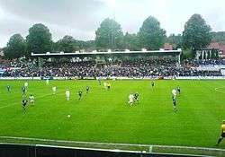
Halmstad is host of the ongoing 2018 World Team Table Tennis Championships.
- American Football
- Halmstad Eagles
- Association football
- Halmstads BK
- IS Halmia
- Alets IK
- BK Astrio
- IF Centern
- IF Leikin
- Snöstorp/Nyhem FF
- IS Örnia
- Badminton
- Halmstad Badmintonklubb
- Bowling
- BK 91:an Halmstad
- BK Hallandia
- BK Nyhem
- BK Pantern
- BK Safir
- BS Tylön
- Halmia BS
- IF Tre Hjärtan
- Team Halmstad BF
- Dancing
- Laxbuggarna
- Fencing
- Halmstads Fäktsällskap
- Figure skating
- Halmstads konståkningsklubb
- Golf
- Halmstad GK
- Bäckavattnets GK
- Garnisonen GK
- Holms GK
- Ringenäs GK
- Haverdals GK
- Gymnastics
- Halmstad Frigymnaster
- Halmstad Kvinnliga GF
- Halmstad Rytmiska GF
- Nissaflickorna
- Ice hockey
- Halmstad Hammers HC - filed for bankruptcy in 2005
- Halmstad Ungdom HC
- Sannarps HC
- Swimming
- SK Laxen
- Table tennis
- Team handball
- HK Drott
- Halmstads HP
- Tennis
- Söndrums TK
- Track & Field
- E-sports
- Cricket
- Halamstad Cricket club
Schools
- Kattegattgymnasiet
- Brunnsåkersskolan
- Centrumskolan
- Frennarps Byskola
- Furulundsskolan
- Linehedsskolan
- Nyhemsskolan
- Slottsjordsskolan
- Sofiebergsskolan
- Stenstorpsskolan
- Östergårdsskolan
See also
References
- 1 2 3 "Tätorternas landareal, folkmängd och invånare per km2 2005 och 2010" (in Swedish). Statistics Sweden. 14 December 2011. Archived from the original on 10 January 2012. Retrieved 10 January 2012.
- ↑ http://www.statistikdatabasen.scb.se/pxweb/sv/ssd/START__MI__MI0810__MI0810A/LandarealTatort/table/tableViewLayout1/?rxid=fc7878d9-cb02-4c95-857c-6a6aa9b47d50
- ↑ "Precipitation Averages 1961-90 (Halmstad code 6240)". SMHI. April 2015. Retrieved 15 April 2015.
- ↑ "Statistics from Weather Stations (Swedish)". SMHI. June 2016. Retrieved 22 June 2016.
- ↑ Swedish Universities & University Colleges - Short Version of Annual Report 2012 Archived 2012-12-01 at the Wayback Machine., p. 51
External links
| Wikimedia Commons has media related to Halmstad. |

- Official homepage for the Municipality
- Official homepage for visitors and tourists
Municipalities and seats of Halland County | ||
|---|---|---|
| Municipalities | ||
| Municipal seats | ||
Administrative seats of Swedish counties (län) | ||
|---|---|---|
| ||
as of 2010, according to Statistics Sweden | |||||||||||||||||||||||||||||||||||||||||||||||||||||||||||||
|  | ||||||||||||||||||||||||||||||||||||||||||||||||||||||||||||
||||||||||||||||||||||||||||||||||||||||||||||||||||||||||||||||||