Gyala Peri
| Gyala Peri | |
|---|---|
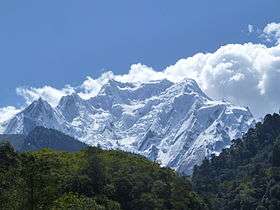 Summit hiding Gyala Peri, October 2011 | |
| Highest point | |
| Elevation |
7,294 m (23,930 ft) [1] Ranked 85th |
| Prominence |
2,942 m (9,652 ft) [1] Ranked 99th |
| Isolation | 20 kilometres (12 mi) |
| Listing | Ultra |
| Coordinates | 29°48′51″N 94°58′06″E / 29.81417°N 94.96833°ECoordinates: 29°48′51″N 94°58′06″E / 29.81417°N 94.96833°E [1] |
| Geography | |
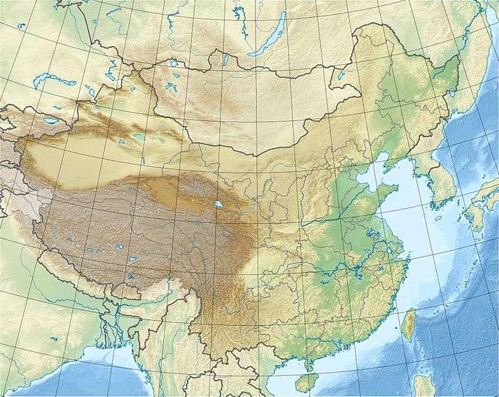 Gyala Peri Location in eastern Tibet 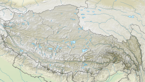 Gyala Peri Gyala Peri (Tibet) | |
| Location |
China Tibet Aut. Reg. Nyingchi Prefecture Mêdog County north of McMahon Line |
| Parent range | Nyenchen Tanglha Shan |
| Climbing | |
| First ascent | October 31, 1986 by Y. Hashimoto, H. Imamura, Y. Ogata.[2] |
| Easiest route | rock/snow/ice climb |
Gyala Peri (Chinese: 加拉白垒, Pinyin: Jiālābáilěi) is a peak just beyond the eastern end of the Himalayas at the entrance to Tsangpo gorge. It is part of Nyenchen Tanglha Shan,[3] although it is sometimes included in Namcha Barwa Himal of the Himalayas.
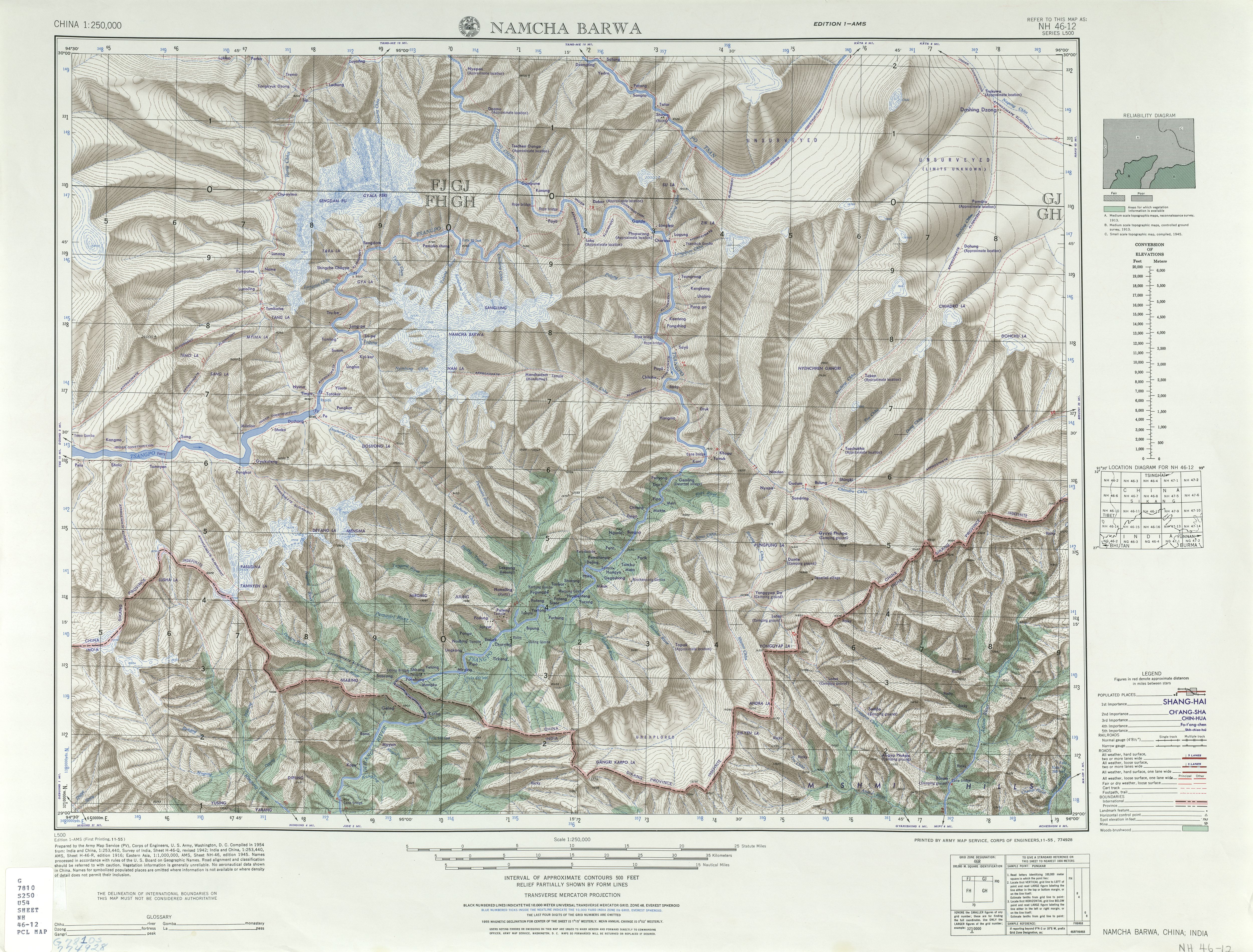
Gyala Peri lies just north of the Great Bend of the Yarlung Tsangpo River, the main river of southeastern Tibet, which becomes the Brahmaputra in India. It is 22 km NNW of the higher Namcha Barwa.
Notable features
Gyala Peri has great vertical relief above the Tsangpo gorge and is the highest peak of the Nyenchen Tanglha Shan.[3]
Climbing history
The first ascent of Gyala Peri was in 1986, by a Japanese expedition, via the South Ridge. The group spent about one and one-half months on the mountain.[2] The U.K. Alpine Club's Himalayan Index[4] lists no other ascents.
Footnotes
- 1 2 3 "China I: Tibet - Xizang". Peaklist.org. Retrieved 2013-02-10.
- 1 2 Yoshio Ogata (1991). "A secret mountain". Himalayan Journal. Mumbai: Himalayan Club. 49. Retrieved May 19, 2011.
- 1 2 "Nyainqêntanglha Shan". peakbagger.com. Retrieved 2012-11-27.
- ↑ "Himalayan Index". London: Alpine Club. Retrieved May 19, 2011.
Other sources
- Neate, Jill (1990). High Asia: An Illustrated History of the 7,000 Metre Peaks. Seattle: Mountaineers Books. ISBN 0-89886-238-8.
- Namcha Barwa, NH 46-12 (Map). 1:250,000. U.S. Army Map Service. 1955. Retrieved 2011-06-08.
- "Gyala Peri, China". Peakbagger.com. Retrieved 2013-02-10.