Gunadal
| Gunadal Gundal | |
|---|---|
| village | |
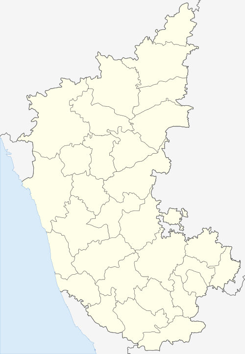
 Gunadal Location in Karnataka, India  Gunadal Gunadal (India) | |
| Coordinates: 16°32′11″N 75°29′45″E / 16.53639°N 75.49583°ECoordinates: 16°32′11″N 75°29′45″E / 16.53639°N 75.49583°E | |
| Country |
|
| State | Karnataka |
| District | Bijapur |
| Taluka | Bijapur |
| Population (2011) | |
| • Total | 2,711 |
| Languages | |
| • Official | Kannada |
| Time zone | UTC+5:30 (IST) |
| PIN | 586125 |
| Telephone code | 08355 |
| Vehicle registration | KA-28 |
| Nearest city | Bijapur, Karnataka |
| Sex ratio 2001 | 60:40 ♂/♀ |
| Literacy (2001) | 75% |
| Lok Sabha constituency | Bijapur |
| Vidhan Sabha constituency | Babaleshwar |
| Climate | hot and cold (Köppen) |
| Website |
www |
Gunadal is a panchayat village[1] in the state of Karnataka, India.[2][3] Administratively it is under Bijapur Taluka of Bijapur district, Karnataka.[4] Located in the far southwestern corner of the district, Gunadal is nearly 45 km by road from the district headquarters, the city of Bijapur. In Gunadal there is a Government Ayurvedic Hospital,[5] Government Veterinary Hospital,[5] Post Office, Police Station and gram panchayat headquarters.
There are four villages in the Gunadal gram panchayat: Gunadal, Babalad, Kengalagutti and Shirabur.[4]
Demographics
In the 2001 Indian census, the village of Gunadal had a population of 2,136, with 1,131 males and 1,005 females.[6]
In the 2011 census, the village of Gunadal had a population of 2,711.[7]
Temples
- Shri Pandurang Temple,
- Shri Kalika Devi Temple,
- Shri AmoghaSiddeshwar Temple,
- Shri Durga Devi Temple,
- Shri Basaveshwar Temple,
- Shri Venkateshwar Temple,
- Shri Mallikarjun Temple.
Agriculture
The village land is quite fertile, with over 90% of it being well-suited to cultivation and crop production. Farmers there grow mainly sugar cane, grapes, maize, and sorghum. Small areas are planted in citrus orchards, and crops such as onions and turmeric. Irrigation is mainly based upon distribution canals from the river, borewells and open wells.
Education
In village a Govt Higher Primary School (HPS,Gunadal) has currently working with 1st to 7th standard having more than 250 students and Indira Gandi Memorial New High School (NHS,Gunadal) is also working with 8th to 10th Standards having more than 200 students.The whole village having more than 75% of literacy rate.
Festivals
The main celebrations of the year are Shri Hari Pandurang Vittal Saptaha(Dindhi) and Khaza Yamanur Uras. Also celebrated each year are Kara Hunnume, Nagara Panchami, Deepavli, Ugadi, and Dassara.
References
- ↑ 2011 Village Panchayat Code = 219574, "Reports of National Panchayat Directory: Village Panchayat Names of Bijapur, Bijapur, Karnataka". Ministry of Panchayati Raj, Government of India. Archived from the original on 13 November 2011.
- ↑ Gundāl (Approved) at GEOnet Names Server, United States National Geospatial-Intelligence Agency
- ↑ 2001 Census Village code = 199500,"2001 Census of India: List of Villages by Tehsil: Karnataka" (PDF). Registrar General & Census Commissioner, India. p. 77. Archived (PDF) from the original on 13 November 2012.
- 1 2 2011 Census Village code = 599138, "Reports of National Panchayat Directory: List of Census Villages mapped for: Gunadal Gram Panchayat, Bijapur, Bijapur, Karnataka". Ministry of Panchayati Raj, Government of India.
- 1 2 Gunadal had a primary health care centre and a veternary centre as of 1985. Nadkarni, Mangesh Venktesh; (1985). Socio-economic Conditions in Drought-prone Areas: A Bench-mark Study of Drought Districts in Andhra Pradesh, Karnataka, and Tamil Nadu. New Delhi: Concept Publishing Company. p. 86. OCLC 13746213.
- ↑ "Census 2001 Population Finder: Karnataka: Bijapur: Bijapur: Gunadal". Office of The Registrar General & Census Commissioner, Ministry of Home Affairs, Government of India.
- ↑ "NPR Report: Karnataka: Bijapur: Bijapur". National Population Register, Ministry of Home Affairs, Government of India. 2011.
External links
- "Official Bijapur District Website". Bijapur District.
- Gundal on "Road Map of Bijapur". Maps of India. Archived from the original on 19 July 2012.