Guerrero Negro Airport
| Guerrero Negro Airport Aeropuerto Nacional de Guerrero Negro | |||||||||||
|---|---|---|---|---|---|---|---|---|---|---|---|
| Summary | |||||||||||
| Airport type | Public | ||||||||||
| Serves | Guerrero Negro, Baja California Sur, Mexico | ||||||||||
| Location | Ensenada Municipality, Baja California, Mexico | ||||||||||
| Elevation AMSL | 59 ft / 18 m | ||||||||||
| Coordinates | 28°01′33″N 114°01′26″W / 28.02583°N 114.02389°WCoordinates: 28°01′33″N 114°01′26″W / 28.02583°N 114.02389°W | ||||||||||
| Map | |||||||||||
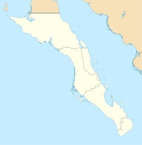 GUB GUB | |||||||||||
| Runways | |||||||||||
| |||||||||||
| Statistics (2016) | |||||||||||
| |||||||||||
|
Source: Dirección General de Aeronáutica Civil | |||||||||||
Guerrero Negro Airport (IATA: GUB, ICAO: MMGR) is an airport located 6 km north of Guerrero Negro in neighboring Ensenada Municipality of southern Baja California state, Mexico.
It handles air traffic for the City of Guerrero Negro, located in Mulegé Municipality of northern Baja California Sur state.
Airlines and destinations
| Airlines | Destinations |
|---|---|
| Aéreo Servicio Guerrero | Ensenada, Guaymas, Hermosillo, Isla de Cedros, Santa Rosalía |
| Calafia Airlines | Ciudad Obregón, Guaymas, Hermosillo, Isla de Cedros |
Accidents and incidents
- On 20 December 1997, Douglas C-47 XA-CUC of Aerolíneas California Pacífico crashed near Guerrero Negro on a flight from Guerrero Negro Airport to Isla de Cedros Airport, Cedros, Baja California.[1]
References
- ↑ "XA-CUC Accident description". Aviation Safety Network. Retrieved 25 June 2010.
External links
- Airport information for MMGR at World Aero Data. Data current as of October 2006.
- Fallingrain.com: MMGR—Guerrero Negro Airport
- MMGR at Elite Jets
- MMGR photo at Our Airports
- MMGR at World Aero Data
This article is issued from
Wikipedia.
The text is licensed under Creative Commons - Attribution - Sharealike.
Additional terms may apply for the media files.