Cabo San Lucas International Airport
| Cabo San Lucas International Airport Aeródromo Internacional de Cabo San Lucas | |||||||||||
|---|---|---|---|---|---|---|---|---|---|---|---|
 | |||||||||||
| Summary | |||||||||||
| Airport type | Public | ||||||||||
| Operator | Aeropuerto Cabo San Lucas Internacional SA de CV | ||||||||||
| Location | Cabo San Lucas | ||||||||||
| Hub for | Calafia Airlines | ||||||||||
| Elevation AMSL | 690 ft / 210 m | ||||||||||
| Coordinates | 22°56′51″N 109°56′13″W / 22.94750°N 109.93694°WCoordinates: 22°56′51″N 109°56′13″W / 22.94750°N 109.93694°W | ||||||||||
| Map | |||||||||||
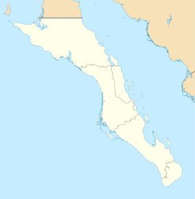 MMSL MMSL | |||||||||||
| Runways | |||||||||||
| |||||||||||
| Statistics (2017) | |||||||||||
| |||||||||||
Cabo San Lucas International Airport (Spanish: Aeródromo Internacional de Cabo San Lucas) (ICAO: MMSL) is a small international airfield (officially it's an "aerodrome") located 4.5 miles (7.2 km) northwest of Cabo San Lucas in Baja California Sur, Mexico.
The airport has air taxi service. Recently, the runway was enlarged and lengthened to 7,000 ft. Also, new navigation aids were installed, along with new air traffic control equipment, control tower, lighting, PAPI visual aids, and a new FBO with all the ground support equipment.
It handled 1,198 passengers in 2017.
Airlines and destinations
| Airlines | Destinations |
|---|---|
| Calafia Airlines | Ciudad Obregón, Culiacán, Guasave, Hermosillo, La Paz, Los Mochis, Mazatlán, Puerto Vallarta |
References
- ↑ Cabo San Lucas Airport at WorldAeroData
- ↑ Airport information for MMSL at Great Circle Mapper.
External links
- Cabo San Lucas Airport, official website
- Cabo San Lucas Airport, Reference website
- Avanza ampliación del aeropuerto de CSL (in Spanish)
This article is issued from
Wikipedia.
The text is licensed under Creative Commons - Attribution - Sharealike.
Additional terms may apply for the media files.