Grundarfjörður Airport
| Grundarfjörður Airport | |||||||||||
|---|---|---|---|---|---|---|---|---|---|---|---|
| Summary | |||||||||||
| Airport type | Public | ||||||||||
| Serves | Grundarfjörður | ||||||||||
| Elevation AMSL | 17 ft / 5 m | ||||||||||
| Coordinates | 64°59′30″N 23°13′20″W / 64.99167°N 23.22222°WCoordinates: 64°59′30″N 23°13′20″W / 64.99167°N 23.22222°W | ||||||||||
| Map | |||||||||||
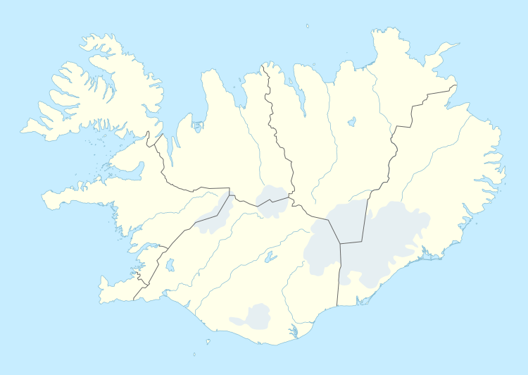 GUU Location of the airport in Iceland | |||||||||||
| Runways | |||||||||||
| |||||||||||
Grundarfjörður Airport (IATA: GUU, ICAO: BIGF) is an airport serving Grundarfjörður, Iceland. The airport is on a peninsula 8 kilometres (5.0 mi) north of the town.
See also
References
- ↑ Google Maps - Grundarfjörður
- ↑ Airport information for GUU at Great Circle Mapper.
- Google Earth
External links
This article is issued from
Wikipedia.
The text is licensed under Creative Commons - Attribution - Sharealike.
Additional terms may apply for the media files.