Selfoss Airport
| Selfoss Airport | |||||||||||||||
|---|---|---|---|---|---|---|---|---|---|---|---|---|---|---|---|
| Summary | |||||||||||||||
| Airport type | Private | ||||||||||||||
| Serves | Selfoss, Iceland | ||||||||||||||
| Elevation AMSL | 45 ft / 14 m | ||||||||||||||
| Coordinates | 63°55′45″N 21°02′16″W / 63.92917°N 21.03778°W | ||||||||||||||
| Map | |||||||||||||||
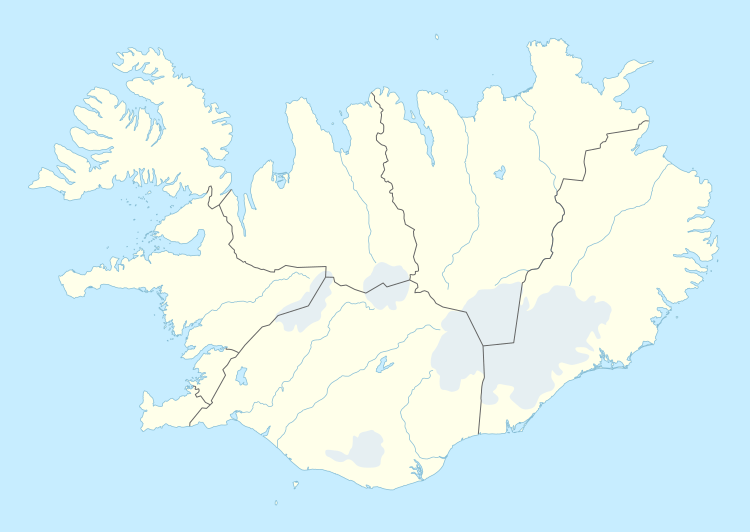 BISF | |||||||||||||||
| Runways | |||||||||||||||
| |||||||||||||||
Selfoss Airport (ICAO: BISF) is an airport serving Selfoss, a town on the banks of Ölfusá river in the Árborg municipality in southern Iceland. Selfoss Airport is privately owned.
The Selfoss non-directional beacon (Ident: SE) is located on the field.[3][4]
See also
References
| Wikimedia Commons has media related to Selfoss Airport. |
- ↑ "AIP Iceland: AD 4 - Other Aerodromes" (PDF). Archived from the original (PDF) on 2013-08-29.
- ↑ Google Maps - Selfoss
- ↑ SE NDB
- ↑ SkyVector Aeronautical Charts
External links
This article is issued from
Wikipedia.
The text is licensed under Creative Commons - Attribution - Sharealike.
Additional terms may apply for the media files.