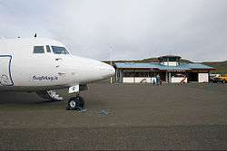
Vopnafjörður Airport
| Vopnafjörður Airport Vopnafjarðarflugvöllur | |||||||||||
|---|---|---|---|---|---|---|---|---|---|---|---|
 | |||||||||||
| Summary | |||||||||||
| Airport type | Public | ||||||||||
| Operator | Isavia | ||||||||||
| Serves | Vopnafjörður, Austurland, Iceland | ||||||||||
| Elevation AMSL | 10 ft / 3 m | ||||||||||
| Coordinates | 65°43′14″N 014°51′02″W / 65.72056°N 14.85056°WCoordinates: 65°43′14″N 014°51′02″W / 65.72056°N 14.85056°W | ||||||||||
| Map | |||||||||||
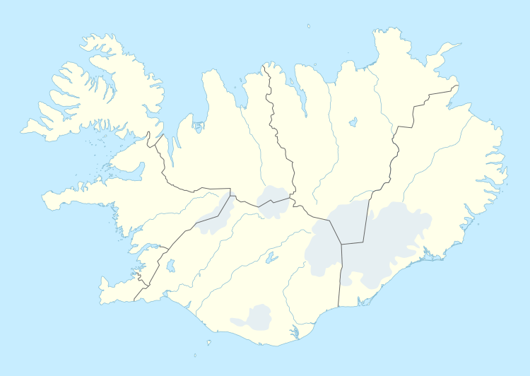 VPN Location of the airport in Iceland | |||||||||||
| Runways | |||||||||||
| |||||||||||
Vopnafjörður Airport (IATA: VPN, ICAO: BIVO) is an airport serving the village of Vopnafjörður, in the Eastern Region (Austurland) of Iceland.
Airlines and destinations
| Airlines | Destinations |
|---|---|
| Norlandair | Akureyri, Þórshöfn |
References
- ↑ (PDF) http://ww2.caa.is/media/PDF/AD_2_BIVO.pdf. Missing or empty
|title=(help) - ↑ Airport information for Vopnafjörður Airport at Search (for) Travel website.
External links
![]()
This article is issued from
Wikipedia.
The text is licensed under Creative Commons - Attribution - Sharealike.
Additional terms may apply for the media files.