Grand Falls Parish, New Brunswick
| Grand Falls | |
|---|---|
| Parish | |
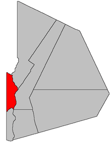 Location within Victoria County, New Brunswick. | |
| Coordinates: 46°56′06″N 67°44′24″W / 46.935°N 67.74°W | |
| Country |
|
| Province |
|
| County | Victoria |
| Established | 1852 |
| Area[1] | |
| • Land | 158.43 km2 (61.17 sq mi) |
| Population (2011)[1] | |
| • Total | 1,172 |
| • Density | 7.4/km2 (19/sq mi) |
| • Pop 2006-2011 |
|
| • Dwellings | 505 |
| Time zone | UTC-4 (AST) |
| • Summer (DST) | UTC-3 (ADT) |
Grand Falls is a Canadian parish in Victoria County, New Brunswick.[2]
Its population in the 2011 Census was 1,172.
The town of Grand Falls is legally separate from the parish.[3]
Delineation
Grand Falls Parish is defined in the Territorial Division Act[3] as being bounded:
- South by Andover Parish; north and east by the Saint John River; and west by the County line, except that part of the area contained within the above limits which is included in (80a[lower-alpha 1]).
Communities
Parish population total does not include incorporated municipalities (in bold):
|
|
|
Demographics
See also
Footnotes
- ↑ Town of Grand Falls
References
- 1 2 2011 Statistics Canada Census Profile: Grand Falls Parish, New Brunswick
- ↑ New Brunswick Provincial Archives - Grand Falls Parish
- 1 2 "Territorial Division Act (R.S.N.B. 1973, c. T-3)". Government of New Brunswick website. Retrieved 23 August 2016.
- ↑ Statistics Canada: 1996, 2001, 2006 census
- ↑ 2006 Statistics Canada Community Profile: Grand Falls Parish, New Brunswick
Places adjacent to Grand Falls Parish, New Brunswick | |
|---|---|
| Subdivisions | |
|---|---|
| Cities | |
| Counties | |
| |
Coordinates: 46°56′06″N 67°44′24″W / 46.93500°N 67.74000°W
This article is issued from
Wikipedia.
The text is licensed under Creative Commons - Attribution - Sharealike.
Additional terms may apply for the media files.