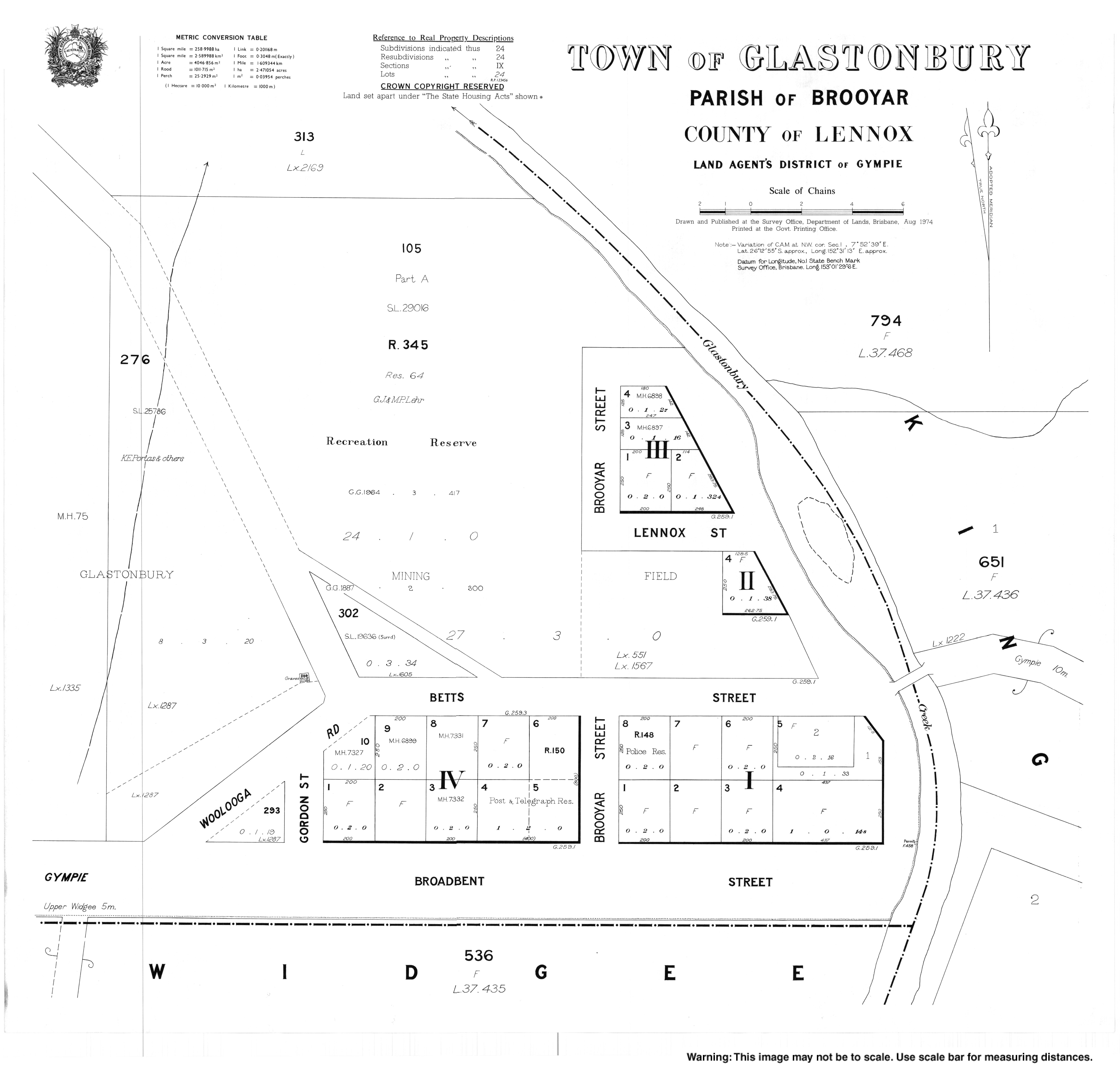
Glastonbury, Queensland
| Glastonbury Queensland | |||||||||||||||
|---|---|---|---|---|---|---|---|---|---|---|---|---|---|---|---|
 Glastonbury | |||||||||||||||
| Coordinates | 26°12′47″S 152°31′11″E / 26.2130°S 152.5197°ECoordinates: 26°12′47″S 152°31′11″E / 26.2130°S 152.5197°E | ||||||||||||||
| Postcode(s) | 4570 | ||||||||||||||
| Area | 82.4 km2 (31.8 sq mi) | ||||||||||||||
| LGA(s) | Gympie Region | ||||||||||||||
| State electorate(s) | Gympie | ||||||||||||||
| Federal Division(s) | Wide Bay | ||||||||||||||
| |||||||||||||||
Glastonbury is a town and a locality in the Gympie Region, Queensland, Australia.[1][2]
References
- ↑ "Glastonbury - town in Gympie Region (entry 13893)". Queensland Place Names. Queensland Government. Retrieved 29 December 2017.
- ↑ "Glastonbury - locality in Gympie Region (entry 46331)". Queensland Place Names. Queensland Government. Retrieved 29 December 2017.
External links
This article is issued from
Wikipedia.
The text is licensed under Creative Commons - Attribution - Sharealike.
Additional terms may apply for the media files.