Ghatboral
| Ghatboral Ghatboral | |
|---|---|
| village | |
| Nickname(s): Ghatboral | |
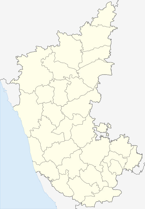
 Ghatboral Location in Karnataka, India  Ghatboral Ghatboral (India) | |
| Coordinates: 17°46′N 77°08′E / 17.77°N 77.14°ECoordinates: 17°46′N 77°08′E / 17.77°N 77.14°E | |
| Country |
|
| State | Karnataka |
| District | Bidar |
| Talukas | Humnabad |
| Government | |
| • Type | Gram |
| • Body | Panchayat of Ghatboral |
| Area | |
| • Total | 32.78 km2 (12.66 sq mi) |
| Population (2011) | |
| • Total | 9,067 |
| • Density | 277/km2 (720/sq mi) |
| Demonym(s) | Ghatboralkar |
| Languages | |
| • Official | Kannada |
| • Other | Marathi Hindi Telugu |
| Time zone | UTC+5:30 (IST) |
| PIN CODE | 585418 |
| Vehicle registration | KA |
Ghatboral is a village in the southern state of Karnataka, India.[1][2] It is located in the Homnabad taluk of Bidar district.
Demographics
As of 2001 India census, Ghatboral had a population of 7735 with 4037 males and 3698 females.This village has many small temples with one of hystorical temple that is Shankarling temple.This village is growing rapidly here PV high school is present since from 1952 and also PV college is here.[1]
See also
References
- 1 2 Village code= 454600 "Census of India : Villages with population 5000 & above". Registrar General & Census Commissioner, India. Archived from the original on 2008-12-08. Retrieved 2008-12-18.
- ↑ "Yahoomaps India :". Retrieved 2008-12-18. Ghatboral, Bidar, Karnataka
External links
This article is issued from
Wikipedia.
The text is licensed under Creative Commons - Attribution - Sharealike.
Additional terms may apply for the media files.