Güeppi Airport
| Güeppi Airport | |||||||||||
|---|---|---|---|---|---|---|---|---|---|---|---|
| Summary | |||||||||||
| Airport type | Public | ||||||||||
| Serves | Güeppi (es), Peru | ||||||||||
| Elevation AMSL | 680 ft / 207 m | ||||||||||
| Coordinates | 0°07′15″S 75°15′00″W / 0.12083°S 75.25000°WCoordinates: 0°07′15″S 75°15′00″W / 0.12083°S 75.25000°W | ||||||||||
| Map | |||||||||||
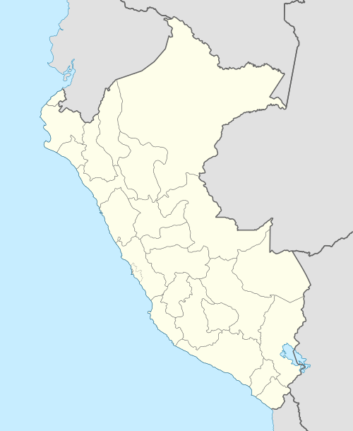 SPGP Location of the airport in Peru | |||||||||||
| Runways | |||||||||||
| |||||||||||
Güeppi Airport (ICAO: SPGP) is an airport serving the town of Güeppi (es) in the Loreto Region of Peru. Güeppi is on the Putumayo River at Peru's tri-border with Colombia and Ecuador.
See also


- Transport in Peru
- List of airports in Peru
References
- ↑ Airport information for Güeppi Airport at Great Circle Mapper.
- ↑ Google Maps - Güeppi
External links
- OpenStreetMap - Güeppi
- OurAirports - Güeppi
- SkyVector - Gueppi
- Güeppi Airport
- Accident history for Güeppi Airport at Aviation Safety Network
This article is issued from
Wikipedia.
The text is licensed under Creative Commons - Attribution - Sharealike.
Additional terms may apply for the media files.