Fucha River
| Fucha River | |
|---|---|
 | |
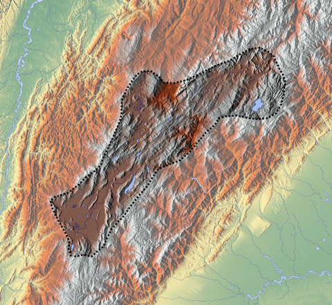
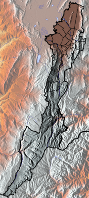
 Location of the Fucha River in Colombia | |
| Native name | Río Fucha |
| Etymology | Muysccubun: "her", "female" |
| Country |
|
| Department | Cundinamarca |
| Municipalities | Bogotá |
| Localities |
San Cristóbal, Rafael Uribe Uribe, Antonio Nariño, Tunjuelito, Ciudad Bolivar, Kennedy, Bosa |
| Physical characteristics | |
| Main source |
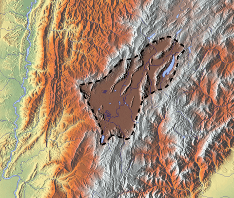
Eastern Hills 4°33′48.0″N 74°03′52.7″W / 4.563333°N 74.064639°WCoordinates: 4°33′48.0″N 74°03′52.7″W / 4.563333°N 74.064639°W |
| River mouth |
Bogotá River Bosa 4°39′44.6″N 74°09′34.2″W / 4.662389°N 74.159500°W |
| Basin features | |
| River system |
Bogotá River Magdalena Basin Caribbean Sea |
The Fucha River is a river on the Bogotá savanna and a left tributary of the Bogotá River. The river originates in the Eastern Hills of the Colombian capital Bogotá and flows westward through the city into the Bogotá River. It is one of the three important rivers of the city, together with the Tunjuelo and Juan Amarillo Rivers.
Etymology
Fucha is derived from Muysccubun, the indigenous language of the Muisca, who inhabited the Bogotá savanna before the Spanish conquest and means "her" or "female".[1]
Description
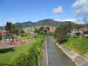
The Fucha River originates in the locality San Cristóbal in the Eastern Hills of Bogotá and is named in its upper course Quebrada Manzanares, San Cristóbal, Arzobispo and San Francisco River. It flows north from the Tunjuelo River westward and respectively forms the boundary between the localities Rafael Uribe Uribe (south) and Antonio Nariño (north) and Tunjuelito and Ciudad Bolivar (south) and Kennedy (north) of the Colombian capital and is canalised between the Carrera Séptima and the Avenida Boyacá. South of the locality Bosa, the Fucha River flows into the Bogotá River. The Fucha River is highly contaminated.[2]
Wetlands
Four of the fifteen protected wetlands of Bogotá are located in the Fucha River basin.
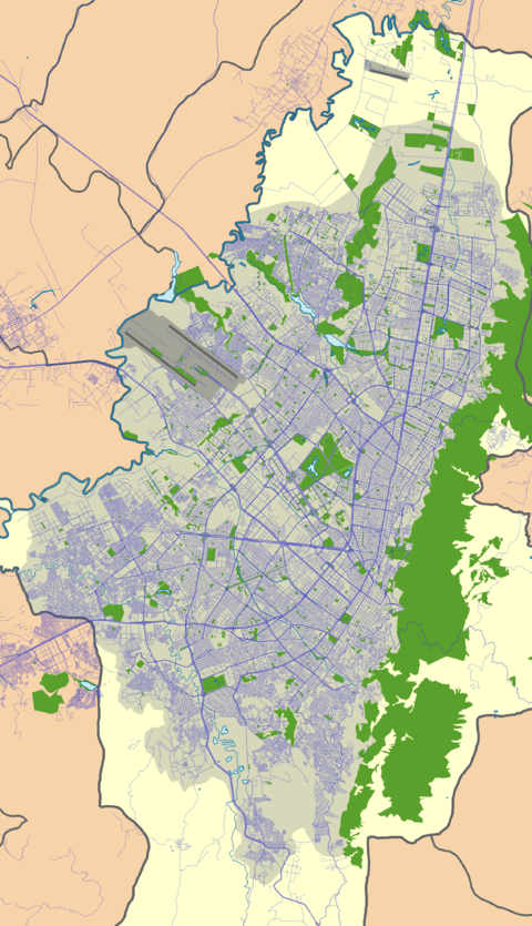
| Wetland | Location | Altitude (m) |
Area (ha) |
Notes | Image |
|---|---|---|---|---|---|
| Capellanía | Fontibón | 2542 | 27.05 | [3] | |
| Meandro del Say |
Fontibón Mosquera |
2548 | 13.6 | [4] | |
| Techo | Techo, Kennedy |
2545 | 11.46 | [5] | |
| El Burro | Kennedy | 2541 | 18.84 | [6] |  |
Gallery
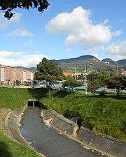 Canalised part close to carrera 10
- Canalised part close to carrera 12
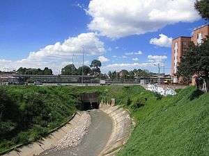 Canalised part close to Ciudad Jardín
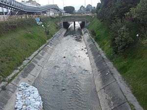 Canalised part
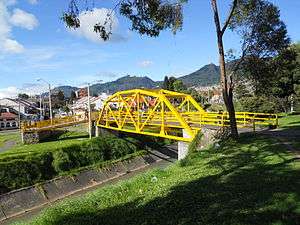 Bridge over the Fucha River
See also
References
- ↑ (in Spanish) fucha - Muisccubun Dictionary
- ↑ (in Spanish) Entre ríos y quebradas Bogotá tiene 198 cuerpos de agua ¿Los conoce?
- ↑ Humedal Capellanía
- ↑ Humedal Meandro del Say
- ↑ Humedal Techo
- ↑ Humedal El Burro
External links
| Wikimedia Commons has media related to Río Fucha. |
- (in Spanish) Sistema Hídrico, Bogotá
 | Administrative subdivision in 20 localities | 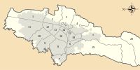 | |
|---|---|---|---|
| Metropolitan Area | |||
| Geography | |||
| |||
| |||