Bogotá River
| Bogotá River | |
|---|---|
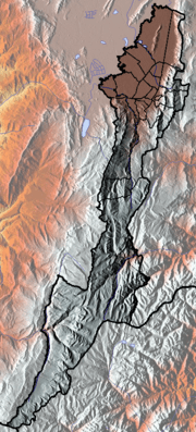
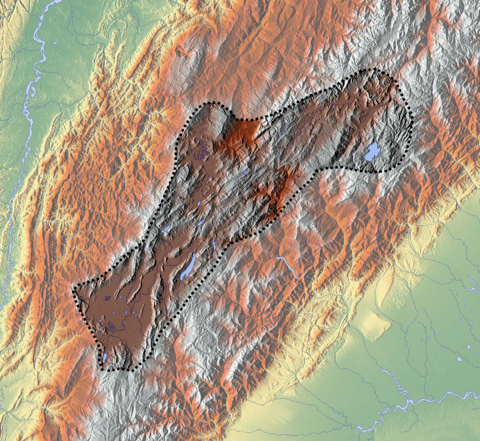
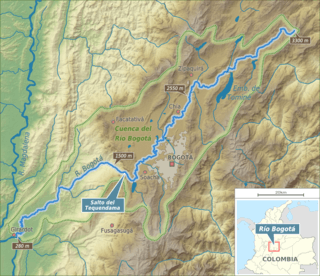 Map of Bogotá River and its drainage basin | |
| Native name | Río Bogotá |
| Other name(s) | Funza River |
| Country |
|
| Department | Cundinamarca |
| Provinces | Almeidas, Central Savanna, Western Savanna, Tequendama, Upper Magdalena |
| Physical characteristics | |
| Main source |
Guacheneque Páramo Villapinzón 3,300 m (10,800 ft) 5°13′19.3″N 73°32′03.5″W / 5.222028°N 73.534306°WCoordinates: 5°13′19.3″N 73°32′03.5″W / 5.222028°N 73.534306°W |
| River mouth |
Magdalena River Girardot 4°17′19.2″N 74°47′47″W / 4.288667°N 74.79639°W |
| Length | 375 km (233 mi) |
| Discharge |
|
| Basin features | |
| River system |
Magdalena Basin Caribbean Sea |
| Basin size | 6,000 km2 (2,300 sq mi) |
| Tributaries |
|
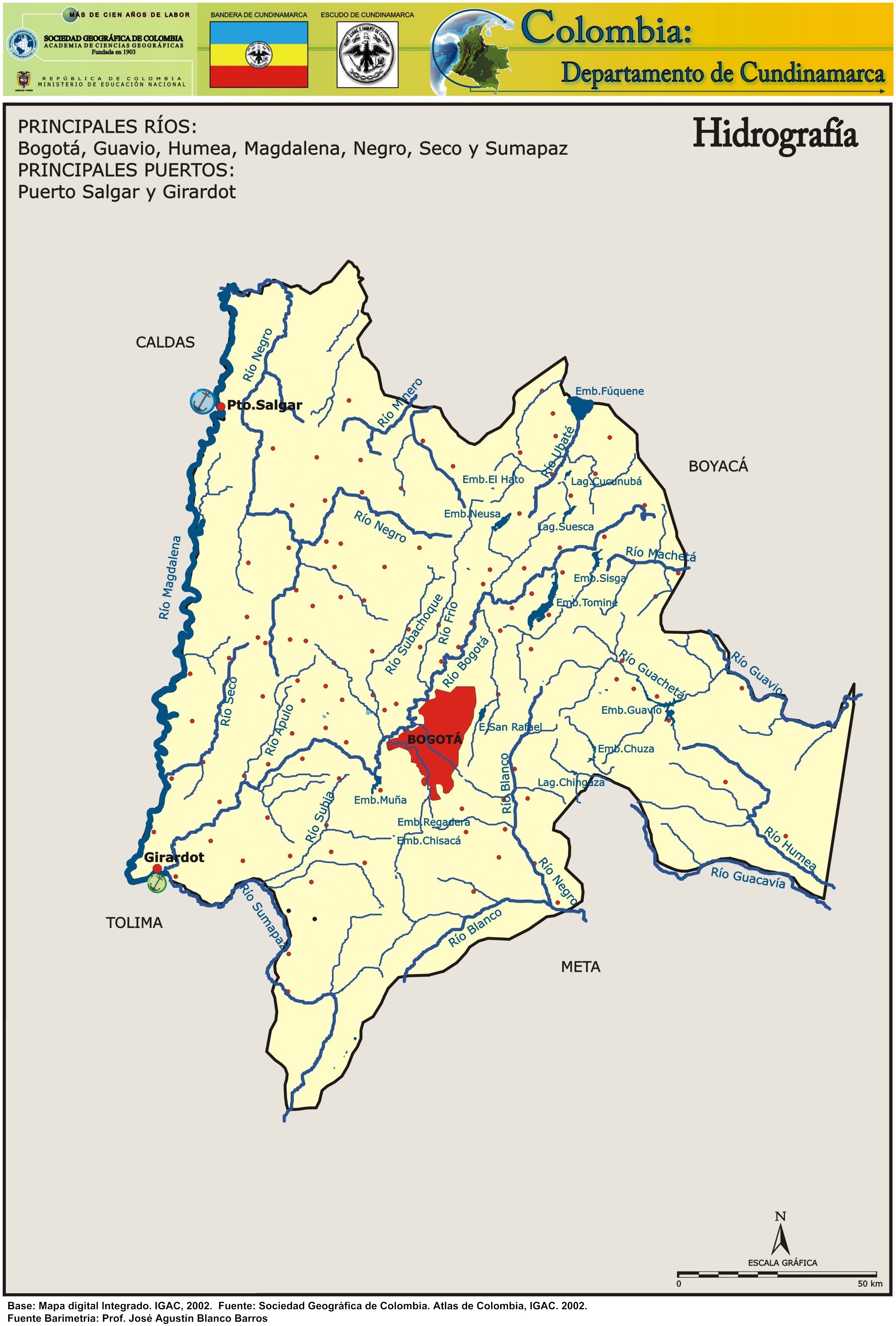
The Bogotá River is a major river of the Cundinamarca department of Colombia, crossing the region from the northeast to the southwest and passing along the western limits of Bogotá. The large population and major industrial base in its watershed have resulted in extremely severe pollution problems for the river.
Etymology
The Bogotá River is named after Bogotá, which is derived from Chibcha and means "(Enclosure) outside of the farm fields".[1] In historical texts, and today the upstream part of, the Bogotá River is also called Funza River.[2]
Course
Main tributaries of the Bogotá River are the Teusacá, Torca, Juan Amarillo, Fucha, Tunjuelo, Soacha (left) and Neusa, Río Frío, Bojacá and Subachoque Rivers (right).
N - Neusa River
Te - Teusacá River
RF - Río Frío
To - Torca River
JA - Juan Amarillo River
F - Fucha River
Tu - Tunjuelo River
B - Bojacá River
S - Soacha River
A - Apulo River
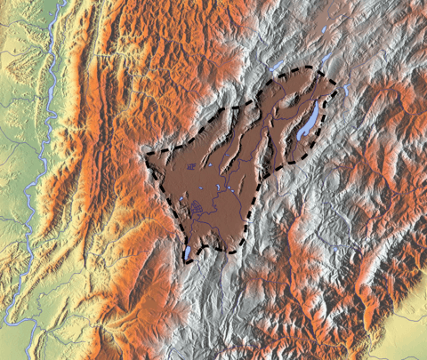
The headwaters of the Bogotá River are in the municipality of Villapinzón, in the northeastern part of Cundinamarca near the limits with Boyacá. It has a course of about 150 kilometres (93 mi) as it crosses the Bogotá savanna, passing through Zipaquirá and eleven small municipalities, before reaching the city of Bogotá. As it runs along the western border of the city, the river forms the outlet for the heavily polluted Salitre, Funza and Tunjuelito Rivers. After passing through the municipality of Soacha, the Bogotá River plunges off the savanna at the Tequendama Falls. It then follows a steep course, falling about 2,000 metres (6,600 ft) in 50 kilometres (31 mi), to join the Magdalena River at Girardot.
Temperature
The temperature average ranges from 24 to 27 °C (75 to 81 °F).
Gallery
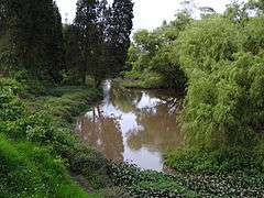 Bogotá River close to Zipaquirá
 Bogotá River in Briceño
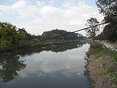 Bogotá River in Engativá
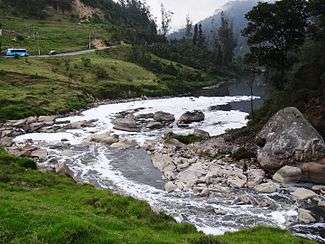 Bogotá River close to Tequendama
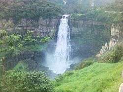 Tequendama Falls in the Bogotá River
See also
- List of rivers of Colombia
- Bogotá savanna, Tequendama - archaeological site, earliest inhabitation along the Bogotá River
- Tequendama Falls
References
- ↑ (in Spanish) Etymology Bacatá - Banco de la República
- ↑ (in Spanish) A orillas del Río - El Tiempo
External links
| Wikimedia Commons has media related to Río Bogotá. |
- (in Spanish) Sistema Hídrico, Bogotá
- (in Spanish) Hidrografía Río Bogotá
 | Administrative subdivision in 20 localities |  | |
|---|---|---|---|
| Metropolitan Area | |||
| Geography | |||
| |||
| |||