Fort Stevenson State Park
| Fort Stevenson State Park | |
| North Dakota State Park | |
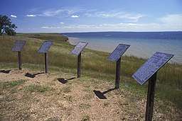 Interpretive signs on Lake Sakakawea, Fort Stevenson State Park, June 2007 | |
| Country | United States |
|---|---|
| State | North Dakota |
| County | McLean |
| Elevation | 1,883 ft (574 m) [1] |
| Coordinates | 47°35′27″N 101°25′12″W / 47.59083°N 101.42000°WCoordinates: 47°35′27″N 101°25′12″W / 47.59083°N 101.42000°W [1] |
| Area | 549 acres (222 ha) |
| Established | 1974 [2] |
| Management | North Dakota Parks and Recreation Department |
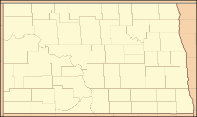 Location in North Dakota | |
| Website: Fort Stevenson State Park | |
Fort Stevenson State Park is a public recreation area located on a peninsula on Lake Sakakawea four miles (6.4 km) south of the community of Garrison in McLean County, North Dakota. The state park's 549 acres (222 ha) include a partial reconstruction of Fort Stevenson, the 19th-century Missouri River fort from which the park takes its name.[3] The site of the original fort lies about two miles southwest, below the waters of Lake Sakakawea.[4]
Activities and amenities
The park offers fishing, boating, camping, and picnicking. It has more than eight miles of non-motorized trails for hiking, biking, and cross-country skiing. A half-mile trail winds through the park arboretum. Boaters can rent slips at two marinas. For overnight stays, the park offers camping cabins and a campground with 138 sites.[4]
References
- 1 2 "Fort Stevenson Public Use Area". Geographic Names Information System. United States Geological Survey.
- ↑ "Historical Overview". North Dakota Parks and Recreation Department. Retrieved December 8, 2017.
- ↑ "Fort Stevenson Guardhouse Interpretive Center". Garrison, North Dakota. Retrieved December 14, 2014.
- 1 2 "Fort Stevenson State Park". North Dakota Parks and Recreation Department. Retrieved September 30, 2012.
External links
- Fort Stevens State Park North Dakota Parks and Recreation Department
- Fort Stevens State Park Map North Dakota Parks and Recreation Department