Crow Flies High State Recreation Area
| Crow Flies High State Recreation Area | |
| North Dakota State Park | |
| Country | United States |
|---|---|
| State | North Dakota |
| County | Mountrail |
| Elevation | 2,087 ft (636 m) [1] |
| Coordinates | 47°58′57″N 102°32′45″W / 47.98250°N 102.54583°WCoordinates: 47°58′57″N 102°32′45″W / 47.98250°N 102.54583°W [1] |
| Area | 253 acres (102 ha) |
| Established | Unspecified |
| Management | North Dakota Parks and Recreation Department |
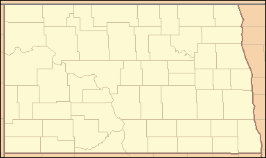 Location in North Dakota | |
| Website: Crow Flies High State Recreation Area | |
Crow Flies High State Recreation Area is a day-use state park in Mountrail County, North Dakota, west of the community of New Town. The site provides scenic views of Lake Sakakawea. Signs describe the location's role in local history, including its significance in the explorations of Lewis and Clark. The footprint of the drowned town of Sanish, now lost below the reservoir's waves, can be seen at times of low water.[2]
The park is named after Hidatsa Indian chief Crow Flies High.[3]:238
Gallery
 The old Four Bears Bridge spanning Lake Sakakawea/Missouri River seen from Crow Flies High view point, Fort Berthold Indian Reservation, North Dakota
 Lake Sakakawea from Crow Flies High view point
References
- 1 2 "Crow Flies High Butte Historic Site". Geographic Names Information System. United States Geological Survey.
- ↑ "Crow Flies High State Recreation Area". North Dakota Parks and Recreation Department. Retrieved September 28, 2012.
- ↑ Meyer, Roy W. (1977): The Village Indians of the Upper Missouri. The Mandans, Hidatsas, and Arikara. Lincoln and London.
This article is issued from
Wikipedia.
The text is licensed under Creative Commons - Attribution - Sharealike.
Additional terms may apply for the media files.