Flight Park State Recreation Area
| Flight Park State Recreation Area | |
| Utah State Park | |
 Hang gliding at Flight Park State Recreation Area | |
| Country | |
|---|---|
| State | |
| Counties | Salt Lake, Utah |
| Location | Lehi |
| - elevation | 5,146 ft (1,569 m) [1] |
| - coordinates | 40°27′28″N 111°54′4″W / 40.45778°N 111.90111°WCoordinates: 40°27′28″N 111°54′4″W / 40.45778°N 111.90111°W |
| Area | 147 acres (59.5 ha) [2] |
| Founded | 2006 [1] |
| Management | Utah State Parks, Utah Hang Gliding and Paragliding Association |
| IUCN category | V - Protected Landscape/Seascape |
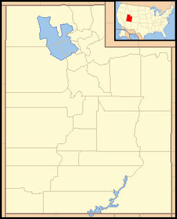 Location of Flight Park State Recreation Area in Utah | |
Flight Park State Recreation Area is a state park in northern Utah, United States, dedicated to hang gliding and paragliding.
Description
The park is located on the south side of Point of the Mountain, just north of Lehi. Flight Park is jointly managed by Utah State Parks and the Utah Hang Gliding and Paragliding Association (UHGPGA). It is known as one of the best training sites for both paragliding and hang gliding.
Just west of the parking lot there is a modelport for radio control airplanes and helicopters.[3]
The park is located almost entirely in northern Utah County, although a tiny section of its northwest corner extends into Salt Lake County, according to the map on its official website.
See also
References
- 1 2 "Flight Park State Recreation Area: About the Park". Utah State Parks. Retrieved 2011-02-05.
- ↑ "Flight Park State Recreation Area: Area Management Plan" (PDF). Utah State Parks. March 2008. Retrieved 2011-02-05.
- ↑ "Flight Park State Recreation Area". Utah State Parks.
![]()
External links

- Official website