Flanders Moss
| Flanders Moss National Nature Reserve | |
|---|---|
 | |
| Location | Stirlingshire, Scotland |
| Coordinates | 56°09′32″N 4°12′00″W / 56.159°N 4.200°WCoordinates: 56°09′32″N 4°12′00″W / 56.159°N 4.200°W |
| Governing body | Scottish Natural Heritage (SNH) |
| Flanders Moss National Nature Reserve | |

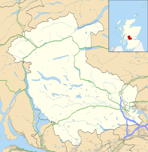
Flanders Moss is an area of raised bog lying in the Carse of Forth in west Stirlingshire, Scotland. The villages of Thornhill and Port of Menteith lie to the north with the villages of Kippen and Buchlyvie lying to the south.
History
Formerly only passable with difficulty, during the 18th century, drainage of the land was encouraged by the lawyer, historian and improver Henry Home, Lord Kames,[1] but a substantial portion survived this development at two sites - West Flanders Moss and East Flanders Moss.
The Strathendrick and Aberfoyle Railway was built through West Flanders Moss. Opening in 1880, the line ran between the villages of Buchlyvie and Gartmore. In the 1970s, the rest of West Flanders Moss was drained and planted with a commercial forest by the Forestry Commission, though much of the plantation is now being removed and the moss restored to its natural state.[2][3][4]
Flanders Moss National Nature Reserve
Flanders Moss is a National Nature Reserve, managed by Scottish Natural Heritage. Formed on the Carse of Stirling over 8000 years ago, it is an internationally important habitat currently undergoing active restoration. The eastern part of Flanders Moss is the largest raised bog in Europe to remain in a predominantly near-natural state.[4][5] It is a site of special scientific interest and was designated as a special area of conservation on 17 March 2005. Scottish Natural Heritage purchased rights on the site in 1995.[6]
As well as being an important habitat for wildlife, Flanders Moss also plays a key role for carbon sequestration acting as a carbon sink.
Scottish Natural Heritage provides an access track, car park, viewing tower and a short waymarked trail on the eastern side of the site.
References
- ↑ Mair, Craig. Stirling: The Royal Burgh. Edinburgh: John Donald Publishers Ltd. pp. 169–170. ISBN 0-85976-420-6.
- ↑ "An Historical Survey of Lowland Raised Mires, Great Britain" (PDF). DEFRA. 1984. Retrieved 4 January 2014.
- ↑ "Restoration of bogs". Forestry Commission. 2009. Retrieved 4 January 2014.
- 1 2 "RESTORING A LOWLAND RAISED PEATBOG" (PDF). Scottish Natural Heritage. 2012. Retrieved 4 January 2014.
- ↑ Smout, Christopher (2009). Exploring Environmental History: Selected Essays. Edinburgh University Press. p. 108. ISBN 0-7486-3513-0.
- ↑ Rawcliffe, Peter (1998). Environmental Pressure Groups in Transition. Manchester University Press. p. 176. ISBN 0-7190-5212-2.