Farrer Road MRT station
CC20 Farrer Road 花拉路 ஃபேரர் சாலை Farrer Road | |
|---|---|
| Rapid transit | |
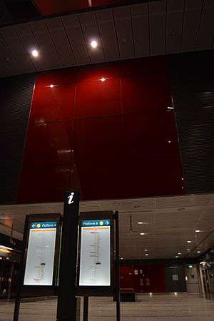 Platform level of Farrer Road MRT station. | |
| Location |
71 Farrer Road Singapore 261006 |
| Coordinates | 1°19′02″N 103°48′27″E / 1.317319°N 103.807431°E |
| Operated by | SMRT Trains (SMRT Corporation) |
| Line(s) | |
| Platforms | Island |
| Tracks | 2 |
| Connections | Bus, Taxi |
| Construction | |
| Structure type | Underground |
| Platform levels | 2 |
| Disabled access | Yes |
| Other information | |
| Station code | CC20 |
| History | |
| Opened | 8 October 2011 |
| Electrified | Yes |
| Previous names | Farrer |
| Location | |
 | |
Farrer Road MRT station (CC20) is an underground Mass Rapid Transit (MRT) station on the Circle Line, located along the boundary of Bukit Timah and Tanglin planning areas, Singapore.
Farrer Road station is built underneath its namesake road, near the junction with Empress Road.
History
The junction of Farrer Road and Empress Road had been realigned from 1 December 2004, this marks the start of construction of Farrer Road MRT station. The station was renamed from Farrer to Farrer Road in 11 January 2007.
On May 24, 2007, a section of Cornwall Gardens Road above a section between Holland Village and Farrer Road stations along the Circle Line collapsed, creating a 3 metre deep hole. No one was injured, but some of the households lost their access to cable TV and Internet, as well as the water supply. This is the third road that caved in during the construction of the Circle Line.
Art in Transit
The artwork featured in this station under the Art in Transit programme is Art Lineage by Erzan Adam. In this community project, using lines as a key element to emphasise unity in art and in the community, members of the public were invited to paint coloured lines in any way they liked over three canvasses. The artist then digitised and overlayered the images to create a single piece, which is now displayed on the lift shaft in the station.[1]
References
- ↑ Martin, Mayo. "Circle Line Art! The final destination(s)! A sneak peek!". For Art's Sake!. TODAYonline Blogs. Archived from the original on 27 December 2011. Retrieved 11 October 2011.
External links
| Preceding station | Mass Rapid Transit | Following station | ||
|---|---|---|---|---|
towards Dhoby Ghaut | Circle line | towards HarbourFront |