Falmouth Airpark
| Falmouth Airpark | |||
|---|---|---|---|
| Summary | |||
| Airport type | Public | ||
| Owner | Falmouth Airpark Homeowners Assoc. | ||
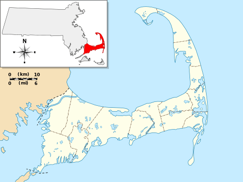
| Serves | Falmouth, Massachusetts | ||
| Elevation AMSL | 43 ft / 13 m | ||
| Coordinates | 41°35′08″N 070°32′25″W / 41.58556°N 70.54028°WCoordinates: 41°35′08″N 070°32′25″W / 41.58556°N 70.54028°W | ||
| Website | www.FalmouthAirpark.net | ||
| Map | |||
 5B6 | |||
| Statistics (2007) | |||
| |||
Falmouth Airpark (FAA LID: 5B6) is a public-use airport and residential airpark located four miles (6 km) northeast of the central business district of Falmouth, in Barnstable County, Massachusetts, United States. It is privately owned by Falmouth Airpark Homeowners Association.[1] The airport grew to superscede the Coonamessett Airport which was located in close proximity to the Otis Air National Guard Base and closed in the 1960s.[2]
Facilities and aircraft
Falmouth Airpark covers an area of 110 acres (45 ha).
| Runway Information[3] | ||
|---|---|---|
| Dimensions | 2298 x 40 ft. / 700 x 12m | |
| Surface | asphalt, in good condition. | |
| Weight Bearing Capacity | Single Wheel: 4.0 | |
| Runway Edge Lights | Low Intensity | |
| Runway 7 | Runway 25 | |
| Latitude | 41-35.016423N | 41-35.252345N |
| Longitude | 070-32.617743W | 070-32.223817W |
| Elevation(MSL) | 38.0 ft | 41.0 ft |
| Gradient | 0.2% | 0.2% |
| Traffic Pattern | Right | Left |
| Markings | Basic, in good condition | Basic, in good condition |
| Obstructions | 33 ft. trees, 300 ft. from runway, 60 ft. left of centerline.
3:1 slope to clear. |
25 ft. trees 300 ft. from runway, 125 ft. right of centerline. 4:1 slope to clear. |
| Airport Services[3] | |
|---|---|
| Fuel Available | 100LL, UL94 |
| Parking | hangers and tiedowns |
| Airframe Service | NONE |
| Powerplant Service | NONE |
| Bottled Oxygen | NONE |
| Bulk Oxygen | NONE |
| Airport Communications[3] | |
|---|---|
| CTAF/UNICOM | 122.8 |
| CAPE APCH/DEP | 118.2 |
For a 12-month period ending April 21, 2016, the airport averaged 39 operations a week: 61% local general aviation, 37% transient general aviation, 1% military, and 1% air taxi. During that same time there were 55 aircraft based on the field: 50 single engine, and 5 multi-engine aircraft.[3]
References
- 1 2 FAA Airport Master Record for 5B6 (Form 5010 PDF), effective 2007-12-20
- ↑ "Abandoned & Little-Known Airfields: Southeastern Massachusetts". Abandoned & Little-Known Airfields. 29 March 2011. Retrieved 22 June 2013.
- 1 2 3 4 "AirNav: 5B6 - Falmouth Airpark". www.airnav.com. Retrieved 2017-12-09.
External links
- Falmouth Airpark, official web site
- Aerial photo of the airport in 1960 with a grass runway
- Aerial photo of the airport in 1968 with a paved runway
- Resources for this airport:
- FAA airport information for 5B6
- AirNav airport information for 5B6
- FlightAware airport information and live flight tracker
- SkyVector aeronautical chart for 5B6