Draycott in the Clay
| Draycott in the Clay | |
|---|---|
.jpg) The village Post office | |
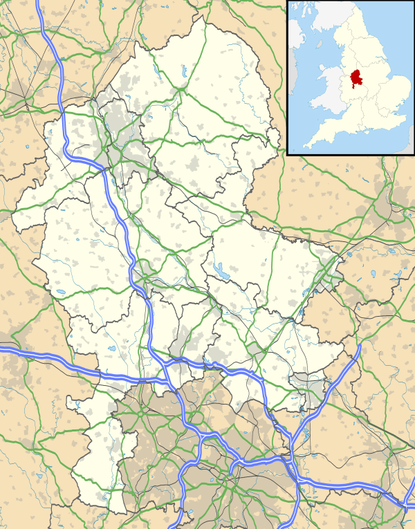 Draycott in the Clay Draycott in the Clay shown within Staffordshire | |
| Population | 862 (2011)[1] |
| OS grid reference | SK15551 |
| Civil parish |
|
| District | |
| Shire county | |
| Region | |
| Country | England |
| Sovereign state | United Kingdom |
| Post town | Ashbourne |
| Postcode district | DE6 |
| Dialling code | 01283 |
| Police | Staffordshire |
| Fire | Staffordshire |
| Ambulance | West Midlands |
| EU Parliament | West Midlands |
| UK Parliament | |
Draycott in the Clay is a village and civil parish within the English county of Staffordshire.[2]
Location
The village is located between Uttoxeter, which is 7.6 miles (12.2 km) to the west, and Burton Upon Trent which is 7.5 miles (12.1 km) to the east. The nearest railway station is at Uttoxeter. The village is dominated by the A515 which runs through the village. to the south of the village is The National Forest and to the north is a traction engine park.
Village Facilities
The village has two churches, a village shop/Post Office, two public houses, one school and a play area.
References
- ↑ "Civil Parish population 2011". Retrieved 7 December 2015.
- ↑ OS Explorer Map 245: The National Forest :(1:25 000) : ISBN 0 319 24028 2
This article is issued from
Wikipedia.
The text is licensed under Creative Commons - Attribution - Sharealike.
Additional terms may apply for the media files.