Branston, Staffordshire
| Branston | |
|---|---|
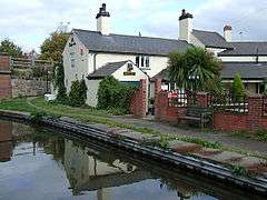 The Bridge Inn at Branston | |
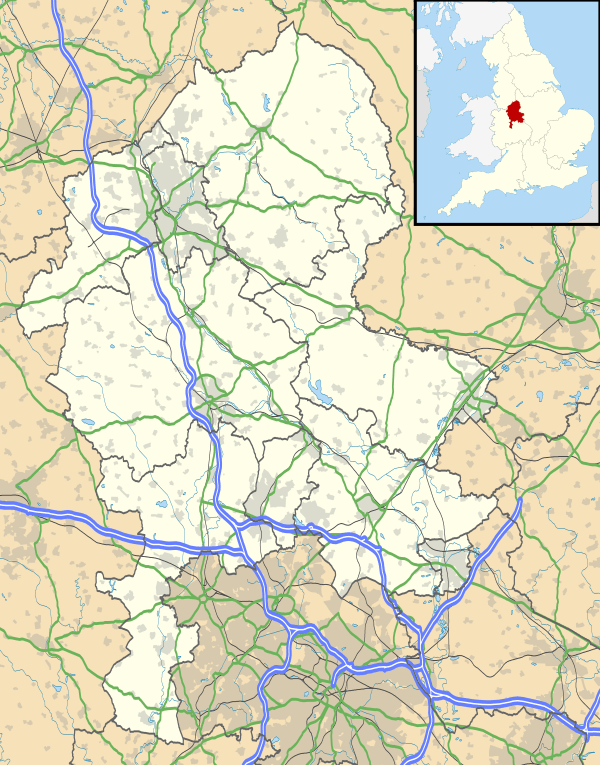 Branston Branston shown within Staffordshire | |
| Population | 6,749 (2011) |
| OS grid reference | SK2321 |
| Civil parish |
|
| District | |
| Shire county | |
| Region | |
| Country | England |
| Sovereign state | United Kingdom |
| Post town | BURTON-ON-TRENT |
| Postcode district | DE14 |
| Dialling code | 01283 |
| Police | Staffordshire |
| Fire | Staffordshire |
| Ambulance | West Midlands |
| EU Parliament | West Midlands |
| UK Parliament | |
Branston is a village and civil parish in Staffordshire, England. At the 2001 census, the population was 6,540,[1] increasing to 6,749 at the 2011 Census.[2]
History
Branston was originally a small village beside the River Trent and lies to the south of Burton upon Trent. It spread in the 19th century along the main Burton to Lichfield road, which is now the dual carriageway A38. There is much 19th- and 20th-century housing along Clays Lane, north of the village, and along Burton Road to the east. Elsewhere, the land is mainly farmland, with the former Sinai Park in the northern part of the township.
Ryknild Street Roman road - from Wall near Lichfield to Little Chester in Derby - passes through the village.
The name Branston is Old English and means an estate belonging to a man called Brant, a personal name of Scandinavian origin. The medieval village stood near the river, its position decided by its proximity to a ford
In 942 King Edmund granted an estate at Branston to Wulfsige the Black, possibly an ancestor of Wulfric Spot, the founder of Burton Abbey, and in 1066 it was held by Godgifu (Lady Godiva), the widow of Leofric, Earl of Mercia.
By the later 18th century the village stood at the east end of Old Road, which with Warren Lane formed the line of the medieval road between Burton and Lichfield before Main Street was laid out to the north in the early 19th century. A new village centre then developed along Main Street. A Congregational chapel was opened in 1834, and there was a post office by 1871.
A public house mentioned in 1789 was by 1818 called the Gate inn. It presumably stood on the site of the present inn of that name at the southern end of the modern village, and took its name from the nearby toll-gate set up after the Burton-Lichfield road was turn-piked in 1729. By 1818 there was another inn a short distance to the north. Then called the White Hart, it was known as the Anglesey Arms by the earlier 1830s and still existed in 1918. A third inn, the present Blacksmiths Arms at the junction of Main Street and Old Road, existed as a beer house called the Smiths Arms in 1851.
The first Branston(e) Golf Club was founded in 1907. This club disappeared at the time of WW1.[3]
During the Second World War a major ordnance facility known as Branston Depot was established at Branston: this facility closed in 1961 when operations moved to Bicester.[4]
Branston has many housing developments such as Regents Park and Fairway estate next to Branston Golf Course. There are currently expansive housing and employment developments under construction to the north and south of the village: Branston Locks and Branston Leas.
There are two schools in Branston, Rykneld Primary School and Paget High School.
The parish church in Branston is St Saviour's, part of the Diocese of Lichfield.
Branston Pickle
After World War I, Crosse & Blackwell made a successful £612,856 bid to acquire a factory site in Branston, which they pledged to turn into the largest and best equipped food preserving plant in the British Empire.[4] This allowed the company to vacate its Soho properties in London.[5] In 1922 they started to produce Branston Pickle (to a recipe attributed to Mrs Caroline Graham and her daughters Evelyn and Ermentrude)[4] at the new factory, but this factory proved uneconomic and production was moved to another company site in London, in Crimscott Street, Bermondsey.[6] Production at Branston ended in January 1925, leading to large scale local unemployment, with many local people boycotting Crosse & Blackwell products as a result.[4]
References
- ↑ "Census 2001: Parish Headcouts: East Staffordshire". Neighbourhood Statistics. Office for National Statistics. Retrieved 12 September 2013.
- ↑ "Civil Parish population 2011". Retrieved 5 December 2015.
- ↑ "Branston Golf Club", "Golf’s Missing Links".
- 1 2 3 4 "Branston Depot History". The local history of Burton upon Trent. Retrieved 13 September 2017.
- ↑ "Thousands of jars reveal Britain's saucy history". The History Blog. Retrieved 13 September 2017.
- ↑ "Crosse and Blackwell / E Lazenby & Sons". Exploring Southwark. Retrieved 12 September 2017.
| Wikimedia Commons has media related to Branston, Staffordshire. |