Division No. 9, Alberta
| Division No. 9 | |
|---|---|
| Census division in Alberta | |
| Country | Canada |
| Province | Alberta |
| Area[1] | |
| • Total | 18,922 km2 (7,306 sq mi) |
| As of 2011 | |
| Population (2011)[1] | |
| • Total | 21,290 |
| • Density | 1.1/km2 (2.9/sq mi) |
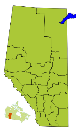
Division No. 9 is a census division in Alberta, Canada. It is located in the southwest corner of central Alberta and its largest urban community is the Town of Rocky Mountain House. The boundaries of the division are coextensive with the outer boundaries of Clearwater County.
Census subdivisions
The following census subdivisions (municipalities or municipal equivalents) are located within Alberta's Division No. 9.[2][3]
- Towns
- Villages
- Summer villages
- Municipal districts
- Indian reserves
- Big Horn 144A
- O'Chiese 203
- Sunchild 202
Demographics
In the 2011 Census, Division No. 9 had a population of 21,290 living in 7,962 of its 8,935 total dwellings, a 4.6% change from its 2006 population of 20,351. With a land area of 18,922 km2 (7,306 sq mi), it had a population density of 1.1 people per square kilometre in 2011.[1]
In 2006, Division No. 9 had a population of 20,351 living in 8,151 dwellings, a 4.0% increase from 2001. The census division has a land area of 18,921.38 km2 (7,305.59 sq mi) and a population density of 1.1 inhabitants per square kilometre.[4]
See also
References
- 1 2 3 "Population and dwelling counts, for Canada, provinces and territories, and census divisions, 2011 and 2006 censuses (Alberta)". Statistics Canada. 2012-02-08. Retrieved 2012-02-16.
- ↑ "2006 Community Profiles, Geographic hierarchy – Division No. 9 (Census division)". Statistics Canada. 2010-12-07. Retrieved 2011-08-30.
- ↑ "2011 Municipal Codes" (PDF). Alberta Municipal Affairs. 2011-01-05. Retrieved 2011-08-30.
- ↑ Statistics Canada. "Canada 2006 Census: Division No. 1 - Community Statistics". Retrieved 2007-06-06.
Places adjacent to Division No. 9, Alberta | |
|---|---|
| Subdivisions | |
|---|---|
| Communities | |
| Cities and urban service areas | |
| Census divisions | |
| |
Coordinates: 52°22′12″N 114°55′12″W / 52.37000°N 114.92000°W