Division No. 1, Alberta
| Division No. 1 | |
|---|---|
| Census division in Alberta | |
| Country | Canada |
| Province | Alberta |
| Area[1] | |
| • Total | 20,526 km2 (7,925 sq mi) |
| As of 2011 | |
| Population (2011)[1] | |
| • Total | 78,694 |
| • Density | 3.8/km2 (9.9/sq mi) |
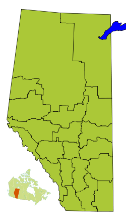
Division No. 1 is a census division in Alberta, Canada. It is located in the southeast corner of southern Alberta and surrounds the City of Medicine Hat.
Census subdivisions
The following census subdivisions (municipalities or municipal equivalents) are located within Alberta's Division No. 1.[2][3]
- Cities
- Towns
- Villages
- Municipal districts
Demographics
In the 2011 Census, Division No. 1 had a population of 78,694 living in 31,724 of its 34,458 total dwellings, a 5.6% change from its 2006 population of 74,550. With a land area of 20,526 km2 (7,925 sq mi), it had a population density of 3.8 people per square kilometre in 2011.[1]
In 2006, Division No. 1 had a population of 74,550 living in 31,315 dwellings, a 10.6% increase from 2001. The census division has a land area of 20,526.14 km2 (7,925.19 sq mi) and a population density of 3.6 inhabitants per square kilometre.[4]
See also
References
- 1 2 3 "(Code 4801) Census Profile". 2011 census. Statistics Canada. 2012.
- ↑ "2006 Community Profiles, Geographic hierarchy – Division No. 1 (Census division)". Statistics Canada. 2010-12-07. Retrieved 2011-08-30.
- ↑ "2011 Municipal Codes" (PDF). Alberta Municipal Affairs. 2011-01-05. Retrieved 2011-08-30.
- ↑ "(Code 4801) Community Profiles". 2006 census. Statistics Canada. 2007.
Places adjacent to Division No. 1, Alberta | ||||||||||
|---|---|---|---|---|---|---|---|---|---|---|
| ||||||||||
| Subdivisions | |
|---|---|
| Communities | |
| Cities and urban service areas | |
| Census divisions | |
| |