Dhungesaghu
| Dhungesaghu ढुङ्गेसाँघु | |
|---|---|
| Village development committee | |
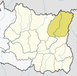
 Dhungesaghu Location in Nepal | |
| Coordinates: 27°21′N 87°34′E / 27.35°N 87.57°ECoordinates: 27°21′N 87°34′E / 27.35°N 87.57°E | |
| Country |
|
| Zone | Mechi Zone |
| District | Taplejung District |
| Population (2011) | |
| • Total | 3,748 |
| Time zone | UTC+5:45 (Nepal Time) |
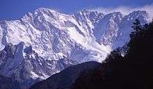
Dhungesaghu is a village development committee in the Himalayas of Taplejung District in the Mechi Zone of north-eastern Nepal. At the time of the 2011 Nepal census it had a population of 3,748 people living in 746 individual households.[1]There were 1,734 males and 2,014 females at the time of census.
References
- ↑ "Nepal Census 2001". Nepal's Village Development Committees. Digital Himalaya. Archived from the original on 12 October 2008. Retrieved 19 November 2008.
External links
This article is issued from
Wikipedia.
The text is licensed under Creative Commons - Attribution - Sharealike.
Additional terms may apply for the media files.