Datian County
| Datian County 大田县 | |
|---|---|
| County | |
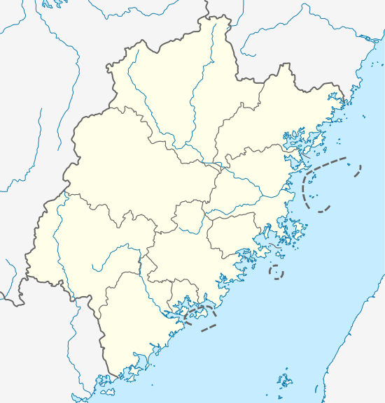 Datian Location in Fujian | |
| Coordinates: 25°46′N 117°50′E / 25.767°N 117.833°ECoordinates: 25°46′N 117°50′E / 25.767°N 117.833°E | |
| Country | People's Republic of China |
| Province | Fujian |
| Prefecture-level city | Sanming |
| Time zone | UTC+8 (China Standard) |
![]()
History
Before the year 1535, this area belonged to four counties: Youxi, Dehua, Yong'an and Zhangping. Datian County was set up and affiliated to Yanping Fu (延平府, mordern Nanping) in 1535. The county changed affiliate to Yongchun Zhou (永春州, modern Yongchun County) in 1734, then to Yong'an Division (永安专区, mordern Sanming Prefecture) in 1949.
Demographics
The population of the district was 362,566 inhabitants in 1999.[1]
The people speak Datian Min, which is sometimes considered a dialect of Southern Min (Minnan), although due to its low intellegibility with the latter is also considered a separate branch of Min Chinese.
Climate
| Climate data for Datian (1981−2010) | |||||||||||||
|---|---|---|---|---|---|---|---|---|---|---|---|---|---|
| Month | Jan | Feb | Mar | Apr | May | Jun | Jul | Aug | Sep | Oct | Nov | Dec | Year |
| Record high °C (°F) | 28.7 (83.7) |
33.9 (93) |
33.8 (92.8) |
34.9 (94.8) |
35.8 (96.4) |
37.7 (99.9) |
39.6 (103.3) |
39.5 (103.1) |
37.6 (99.7) |
35.6 (96.1) |
35.4 (95.7) |
29.7 (85.5) |
39.6 (103.3) |
| Average high °C (°F) | 16.4 (61.5) |
17.5 (63.5) |
20.6 (69.1) |
24.9 (76.8) |
28.1 (82.6) |
30.5 (86.9) |
33.5 (92.3) |
32.8 (91) |
30.0 (86) |
26.5 (79.7) |
22.1 (71.8) |
17.9 (64.2) |
25.1 (77.1) |
| Daily mean °C (°F) | 10.3 (50.5) |
11.9 (53.4) |
14.9 (58.8) |
19.3 (66.7) |
22.5 (72.5) |
25.2 (77.4) |
27.1 (80.8) |
26.4 (79.5) |
24.2 (75.6) |
20.3 (68.5) |
15.6 (60.1) |
11.0 (51.8) |
19.1 (66.3) |
| Average low °C (°F) | 6.6 (43.9) |
8.4 (47.1) |
11.2 (52.2) |
15.4 (59.7) |
18.7 (65.7) |
21.5 (70.7) |
22.7 (72.9) |
22.6 (72.7) |
20.6 (69.1) |
16.3 (61.3) |
11.5 (52.7) |
6.8 (44.2) |
15.2 (59.4) |
| Record low °C (°F) | −4.2 (24.4) |
−3.0 (26.6) |
−3.1 (26.4) |
4.1 (39.4) |
8.6 (47.5) |
13.5 (56.3) |
18.4 (65.1) |
16.7 (62.1) |
11.9 (53.4) |
4.9 (40.8) |
−1.0 (30.2) |
−6.7 (19.9) |
−6.7 (19.9) |
| Average precipitation mm (inches) | 56.5 (2.224) |
104.1 (4.098) |
167.6 (6.598) |
190.7 (7.508) |
225.4 (8.874) |
243.8 (9.598) |
122.5 (4.823) |
191.9 (7.555) |
121.9 (4.799) |
51.9 (2.043) |
37.0 (1.457) |
36.9 (1.453) |
1,550.2 (61.03) |
| Average relative humidity (%) | 79 | 80 | 81 | 80 | 80 | 81 | 76 | 80 | 80 | 77 | 78 | 78 | 79 |
| Source: China Meteorological Data Service Center | |||||||||||||
Notes and references
- ↑ National Population Statistics Materials by County and City - 1999 Period,infas.harvard.edu / ~ chgis/work/downloads/faqs/1999_pop_faq.html China City & County Population 1999, Harvard China Historical GIS
External links
- Government site (in Chinese)