Człopa
| Człopa | |||
|---|---|---|---|
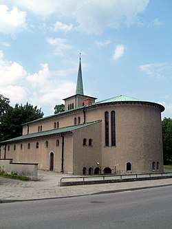 Church in the town | |||
| |||
 Człopa | |||
| Coordinates: 53°5′N 16°8′E / 53.083°N 16.133°E | |||
| Country |
| ||
| Voivodeship | West Pomeranian | ||
| County | Wałcz | ||
| Gmina | Człopa | ||
| Established | 12th century | ||
| City rights | 1245 | ||
| Government | |||
| • Mayor | Halina Ewa Rakowska | ||
| Area | |||
| • Total | 6.33 km2 (2.44 sq mi) | ||
| Population (2006) | |||
| • Total | 2,390 | ||
| • Density | 380/km2 (980/sq mi) | ||
| Time zone | UTC+1 (CET) | ||
| • Summer (DST) | UTC+2 (CEST) | ||
| Postal code | 78-630 | ||
| Area code(s) | +48 67 | ||
| Car plates | ZWA | ||
| Website | http://www.czlopa.pl | ||

Człopa [ˈt͡ʂwɔpa] (German: Schloppe) is a city in Wałcz County of the West Pomeranian Voivodeship in northwestern Poland. During the years 1975 to 1998, the city was administratively part of the Piła Voivodeship.
According to census data from 2004, the population is 2,400.
Located in the Wałcz Lake District on three lakes, Człopa is just east of the scenic Drawska Wilderness area which includes Drawieński National Park. Viritium, a Germanic city in the 2nd century as shown on the map of Ptolemios.
Człopa is an ancient city that was part of Poland since the 12th Century, guarding its northern and western borders. By the end of the 13th Century, the Czarnkowski family of the Nałęcz szlachta received possession of the region around Człopa from Przemysł II, prince of Greater Poland. The grant included permission to raise a hill-fort. Only portions of the hill-fort's walls have survived to the present time.
Transport
National road 22 from Kostrzyn nad Odrą to Braniewo passes through Człopa as does regional road 177. One rail line passes through the city, but service has been discontinued for a number of years.
External links
- Jewish Community in Człopa on Virtual Shtetl
Coordinates: 53°05′N 16°08′E / 53.083°N 16.133°E
| Town and seat |  | |
|---|---|---|
| Villages | ||