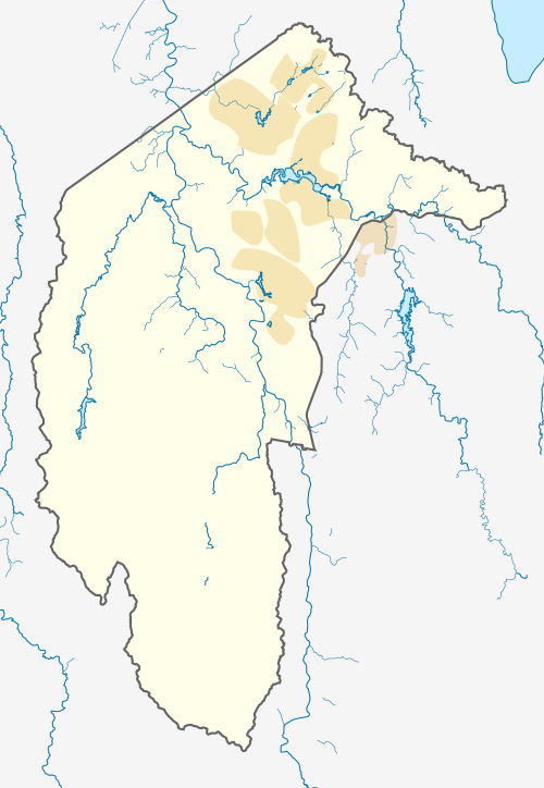
Coombs, Australian Capital Territory
| Coombs Canberra, Australian Capital Territory | |||||||||||||||
|---|---|---|---|---|---|---|---|---|---|---|---|---|---|---|---|
 Coombs | |||||||||||||||
| Coordinates | 35°19′8.07″S 149°2′41.35″E / 35.3189083°S 149.0448194°ECoordinates: 35°19′8.07″S 149°2′41.35″E / 35.3189083°S 149.0448194°E | ||||||||||||||
| Population | 1,811 (2016 census)[1] | ||||||||||||||
| • Density | 787/km2 (2,040/sq mi) | ||||||||||||||
| Gazetted | 27 July 2010[2] | ||||||||||||||
| Postcode(s) | 2611 | ||||||||||||||
| Area | 2.3 km2 (0.9 sq mi) | ||||||||||||||
| Location | 10 km (6 mi) W of Canberra City | ||||||||||||||
| District | Molonglo Valley | ||||||||||||||
| Territory electorate(s) | Murrumbidgee | ||||||||||||||
| Federal Division(s) | Canberra | ||||||||||||||
| Website | Coombs | ||||||||||||||
| |||||||||||||||
Coombs (postcode: 2611) is a suburb currently under development in the Molonglo Valley district of Canberra, located within the Australian Capital Territory, Australia. It is named in honour of H. C. "Nugget" Coombs, a prominent public servant, economist, and the first Governor of the Reserve Bank of Australia.[3]
Suburb amenities
Coombs contain a planned shopping centre due to complete in late 2018.
Education
The suburb is home to Charles Weston Primary School which opened in 2015 and is located between Woodberry Avenue and Madgwick Street. The school has priority enrollment for residents of Coombs and Molonglo valley suburbs Wright and Denman Prospect.
References
- ↑ Australian Bureau of Statistics (27 June 2017). "Coombs (State Suburb)". 2016 Census QuickStats. Retrieved 28 June 2017.

- ↑ "Search for street and suburb names: Coombs". Environment and Sustainable Development Directorate. ACT Government. 4 December 2013. Retrieved 22 December 2013.
- ↑ Downie, Graham (3 January 2008). "Suburbs named in new district". The Canberra Times. Archived from the original on 1 February 2011. Retrieved 23 December 2009.
External links
This article is issued from
Wikipedia.
The text is licensed under Creative Commons - Attribution - Sharealike.
Additional terms may apply for the media files.