Colonia Angamos Airport
| Colonia Angamos Airport | |||||||||||
|---|---|---|---|---|---|---|---|---|---|---|---|
| Summary | |||||||||||
| Airport type | Public | ||||||||||
| Serves | Colonia Angamos (es), Peru | ||||||||||
| Elevation AMSL | 427 ft / 130 m | ||||||||||
| Coordinates | 5°08′15″S 72°52′05″W / 5.13750°S 72.86806°WCoordinates: 5°08′15″S 72°52′05″W / 5.13750°S 72.86806°W | ||||||||||
| Map | |||||||||||
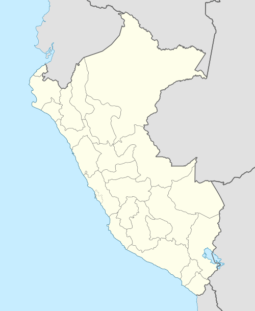 SPDN Location of the airport in Peru | |||||||||||
| Runways | |||||||||||
| |||||||||||
Colonia Angamos Airport (ICAO: SPDN) is an airport serving the village of Colonia Angamos (es) in the Loreto Region of Peru.
Colonia Angamos is a village on the Javary River, a tributary of the Amazon River. The Javary forms part of the boundary between Brazil and Peru.
See also


- Transport in Peru
- List of airports in Peru
References
- ↑ Airport information for Colonia Angamos Airport at Great Circle Mapper.
- ↑ Google Maps - Angamos
External links
This article is issued from
Wikipedia.
The text is licensed under Creative Commons - Attribution - Sharealike.
Additional terms may apply for the media files.