Clyde River, Nova Scotia
| Clyde River | |
|---|---|
| Quinns Road, Upper and Lower Clyde, Port Clyde, Oak Lane, pulm mill road and many other small places. | |
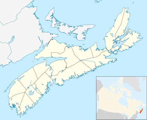 Clyde River Location of Clyde River, Nova Scotia | |
| Coordinates: 43°37′55″N 65°28′50″W / 43.631944°N 65.480556°W[1] | |
| Country |
|
| Province |
|
| County | Shelburne |
| Municipal district | Shelburne |
| Population (2006)[2] | |
| • Total | 1,836 |
| • Change (2001-06) |
|
| Time zone | UTC-4 (AST) |
| • Summer (DST) | UTC-3 (ADT) |
| Postal code(s) | B0W 1R0 |
| Area code(s) | 902 |
| Access Routes |
|

Clyde River shares its name with the river which flows through this community in southwestern Nova Scotia.
Clyde River is a community in the Canadian province of Nova Scotia, located in the Shelburne municipal district of Shelburne County.[2] It shares its name with the Clyde River which flows through the community.
See also
References
Places adjacent to Clyde River, Nova Scotia | ||||||||||
|---|---|---|---|---|---|---|---|---|---|---|
| ||||||||||
| Historical counties | |
|---|---|
| Economic regions | |
| Regional municipalities | |
| County municipalities | |
| District municipalities | |
| Towns | |
| Villages | |
| Lists | |
| |
Coordinates: 43°37′55″N 65°28′50″W / 43.63194°N 65.48056°W
This article is issued from
Wikipedia.
The text is licensed under Creative Commons - Attribution - Sharealike.
Additional terms may apply for the media files.