Cianjur Regency
| Cianjur Regency Kabupaten Cianjur | ||
|---|---|---|
| Regency | ||
| Other transcription(s) | ||
| • Sundanese | ᮊᮘᮥᮕᮒᮨᮔ᮪ ᮎᮤᮃᮔ᮪ᮏᮥᮁ | |
| ||
| Motto(s): Cianjur Jago | ||
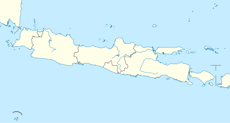
 Location within West Java | ||
| Coordinates: 6°49′16″S 107°08′24″E / 6.8212°S 107.1400°ECoordinates: 6°49′16″S 107°08′24″E / 6.8212°S 107.1400°E | ||
| Country | Indonesia | |
| Province | West Java | |
| Government | ||
| • Regent | Irvan Rivano Muchtar | |
| • Vice Regent | Herman Suherman | |
| Area | ||
| • Total | 3,840.16 km2 (1,482.69 sq mi) | |
| Population (2014) | ||
| • Total | 2,335,024 | |
| Time zone | UTC+7 (IWST) | |
| Area code | (+62) 263 | |
| Website |
cianjurkab | |


Cianjur Regency is a regency (kabupaten) of West Java, Indonesia. The area of the regency is 3,840.16 km2 and its population at the 2010 Census was 2,171,281;[1] the latest official estimate (as at January 2014) is 2,335,024. The town of Cianjur is its capital. Northern parts of the regency form a valley (above the 'neck'), and are far more densely populated than southern regions. As such, a portion of the northern valley was briefly included in a definition of Greater Jakarta called Jabodetabekjur (jur for Cianjur).
Administrative Districts
Cianjur Regency is divided into 32 districts (kecamatan), listed below with their populations at the 2010 Census.[2]
|
|
|
|
Mount Padang
A terracing structure, although local people mention it as a pyramid, lies on Mount Padang, 31 kilometer from Cianjur through Warung Kondang. It is the biggest Megalithic Site in Southeast Asia.[3]
References
- ↑ Biro Pusat Statistik, Jakarta, 2011.
- ↑ Biro Pusat Statistik, Jakarta, 2011.
- ↑ "Megahnya Situs Megalith Gunung Padang Cianjur". Archived from the original on January 3, 2012. Retrieved February 9, 2012.
Places adjacent to Cianjur Regency | |
|---|---|