Chhapian Wali
| Chhapian Wali ਛਾਪਿਆਂ ਵਾਲ਼ੀ | |
|---|---|
| Village | |
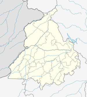
 Chhapian Wali Location in Punjab, India  Chhapian Wali Chhapian Wali (India) | |
| Coordinates: 29°54′40″N 75°17′49″E / 29.911°N 75.297°ECoordinates: 29°54′40″N 75°17′49″E / 29.911°N 75.297°E | |
| Country |
|
| State | Punjab |
| District | Mansa |
| Languages | |
| • Official | Punjabi |
| • Regional | Punjabi |
| Time zone | UTC+5:30 (IST) |
| Nearest city | Mansa |
Chhapian Wali (also spelled as Chhapianwali or Chhapiyanwali) is a village in Mansa district of Punjab, India.[1][2][3] It was on the list for more than 90 per cent of voting in the February 2012 elections.[1][4]
Geography
The village approximately centered at 29°54′40″N 75°17′49″E / 29.91111°N 75.29694°E.[5] Raipur, Raman Nandi, Baje Wala and Uddat Bhagat Ram are the surrounding villages.[6]
Education
The village has a government primary school and students have to go to the nearby villages or city for higher education.[7]
See also
References
- 1 2 "ਪੋਲਿੰਗ ਫ਼ੀਸਦ ਵਿੱਚ ਮਾਨਸਾ ਦੇ ਪਿੰਡਾਂ ਨੇ ਬਾਜ਼ੀ ਮਾਰੀ". Punjabi Tribune. 2 February 2012. Retrieved 21 June 2012.
- ↑ "Concern over water problem :". The Tribune. 22 August 2008. Retrieved 21 June 2012.
- ↑ "ਹਰਮਨਜੋਤ ਵਾਲੀਆ ਨੇ ਨਾਸਾ ਦੇ ਮਾਡਲ ਮੁਕਾਬਲੇ 'ਚ ਲਿਆ ਹਿੱਸਾ". Punjabi Tribune. June 2011. Retrieved 21 June 2012.
- ↑ "ਵਿਧਾਨ ਸਭਾ ਚੋਣਾਂ ਵਿਚ ਪਿਛੜੇ ਖੇਤਰ ਵਿਚ ਲੋਕਾਂ ਨੇ ਦਿੱਤਾ ਰਾਜਨੀਤਿਕ ਚੇਤਨਾ ਦਾ ਸਬੂਤ". PunjabNewsline. 2 February 2012. Archived from the original on 6 February 2012. Retrieved 21 June 2012.
- ↑ Google maps
- ↑ "Compensate affected farmers, demands BKU". The Tribune. 17 August 2008. Retrieved 21 June 2012.
- ↑ "ਮਾਨਸਾ ਦੇ 15 ਪਿੰਡ ਲੋੜੀਂਦੀਆਂ ਸਿੱਖਿਆ ਸਹੂਲਤਾਂ ਤੋਂ ਸੱਖਣੇ". ihues.com. 24 February 2011. Archived from the original on 26 January 2013. Retrieved 21 June 2012.
This article is issued from
Wikipedia.
The text is licensed under Creative Commons - Attribution - Sharealike.
Additional terms may apply for the media files.