Cedar Fire (2016)
| Cedar Fire | |
|---|---|
| Location | North of Alta Sierra and west of Kernville, Kern County, California |
| Coordinates | 35°44′38″N 118°34′34″W / 35.744°N 118.576°WCoordinates: 35°44′38″N 118°34′34″W / 35.744°N 118.576°W |
| Statistics[1] | |
| Date(s) | August 16, 2016 |
| Burned area | 26,135 acres (106 km2) |
| Map | |
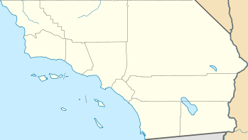 Location in Southern California | |
The Cedar Fire was a wildfire burning to the north of Alta Sierra, Kern County, California.[1]
References
- 1 2 "Cedar Fire". InciWeb. Retrieved 19 August 2016.
| Pre-2000 |
|
|---|---|
| 2002 | |
| 2003 | |
| 2004 | |
| 2005 | |
| 2006 | |
| 2007 | |
| 2008 | |
| 2009 | |
| 2010 | |
| 2011 | |
| 2012 | |
| 2013 | |
| 2014 | |
| 2015 | |
| 2016 | |
| 2017 | |
| 2018 | |
| |
This article is issued from
Wikipedia.
The text is licensed under Creative Commons - Attribution - Sharealike.
Additional terms may apply for the media files.