Holiday Fire
| Holiday Fire | |
|---|---|
| Location | Goleta, California |
| Coordinates | 34°27′39″N 119°49′56″W / 34.460905°N 119.832094°WCoordinates: 34°27′39″N 119°49′56″W / 34.460905°N 119.832094°W, |
| Statistics[1] | |
| Cost | $1.5M [2] |
| Date(s) | July 6, 2018 – Presnt |
| Burned area | 113 acres (0.46 km2) |
| Buildings destroyed | 24 |
| Fatalities | 0 |
| Non-fatal injuries | 0 |
| Map | |
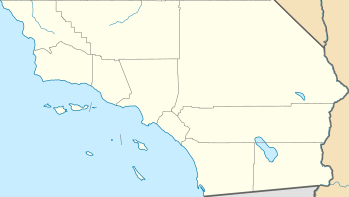 Location of Holiday Fire in Southern California | |
The Holiday Fire was a fire that burned 113 acres (0.46 km2) in the foothills below the Santa Ynez Mountains in Goleta, California that started on July 6th, 2018. The fire was fully contained on July 11th, 2018.
References
- ↑ Sakai, Stacey (13 July 2018). "Holiday Fire 100% contained". KEYT-TV.
- ↑ Report, Staff (12 July 2018). "The Holiday fire cost $1.5 million to fight, officials say". Santa Maria Times]].
This article is issued from
Wikipedia.
The text is licensed under Creative Commons - Attribution - Sharealike.
Additional terms may apply for the media files.