Busuanga Island
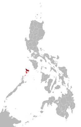 Map showing the Calamian Group (in red) and Busuanga Island (in maroon) | |
.svg.png) Busuanga Island Location within the Palawan | |
| Geography | |
|---|---|
| Location | Mindoro Strait |
| Coordinates | 12°8′42″N 120°5′41″E / 12.14500°N 120.09472°ECoordinates: 12°8′42″N 120°5′41″E / 12.14500°N 120.09472°E |
| Archipelago | Calamianes |
| Adjacent bodies of water | |
| Area | 890 km2 (340 sq mi) |
| Highest elevation | 600 m (2,000 ft) |
| Highest point | Mount Darala |
| Administration | |
| Region | MIMAROPA |
| Province | Palawan |
| Demographics | |
| Population |
73,849 (as of 2015) Municipalities |
Busuanga, is the largest island in the Calamian Group of islands in the province of Palawan in the Philippines. Busuanga Island is the second largest island in the province after Palawan island itself. The island is located halfway between the islands of Mindoro and Palawan with the South China Sea located to the west and the Sulu Sea to the southeast. South of the island are the two other major islands of the Calamian Group: Culion Island and Coron Island.
The western third of the island is under the municipality of Busuanga and the eastern two-thirds belong to the municipality of Coron.
Busuanga Island is mainly known as a recreational diving location due to the twelve World War II Japanese wrecks that were sunk by American navy bombings in Coron Bay, a natural anchorage near the town center of Coron, on September 24, 1944.
See also
External links

- Images from a dive trip to Coron, Busuanga in April 2006
- Landscapes of Busuanga 2012
| Authority control |
|---|