Bredefjord
| Bredefjord | |
|---|---|
 Bredefjord Location in Greenland | |
| Location | Arctic |
| Coordinates | 75°35′N 21°45′W / 75.583°N 21.750°WCoordinates: 75°35′N 21°45′W / 75.583°N 21.750°W |
| Ocean/sea sources | Greenland Sea |
| Basin countries | Greenland |
| Max. length | 40 km (25 mi) |
| Max. width | 4 km (2.5 mi) |
Bredefjord is a fjord in northeastern Greenland. Administratively it is part of the Northeast Greenland National Park zone.
Tundra climate prevails in the area of the fjord, the average annual temperature in the area being -14° C . The warmest month is July when the average temperature rises to 1° C and the coldest is January with -23° C.[1]
Geography
Bredefjord is oriented in a roughly NW/SE direction and its mouth opens at the junction with the Smallefjord from the west into the Ardencaple Fjord, Hochstetter Bay, Greenland Sea.[2] The large Stormgletscher and Ejnar Mikkelsen glaciers form a confluence at its head.[3]
Queen Margrethe II Land lies to the north of the fjord and C. H. Ostenfeld Land to the south.[4]
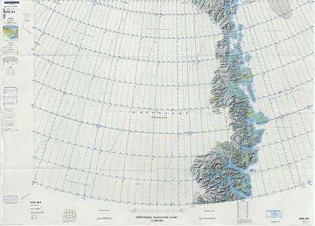
Map of Northeastern Greenland.
See also
References
- ↑ "NASA Earth Observations Data Set Index". NASA. Retrieved 8 June 2016.
- ↑ Prostar Sailing Directions 2005 Greenland and Iceland Enroute, p. 124
- ↑ "Bredefjord". Mapcarta. Retrieved 8 June 2016.
- ↑ "Catalogue of place names in northern East Greenland". Geological Survey of Denmark. Retrieved 1 July 2016.
External links
This article is issued from
Wikipedia.
The text is licensed under Creative Commons - Attribution - Sharealike.
Additional terms may apply for the media files.