Queen Margrethe II Land
| Native name: Nunat Dronning Margrethe II | |
|---|---|
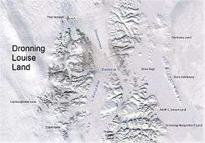 Queen Margrethe II Land in the southeast | |
 Queen Margrethe II Land | |
| Geography | |
| Location | East Greenland |
| Coordinates | 75°40′N 21°0′W / 75.667°N 21.000°WCoordinates: 75°40′N 21°0′W / 75.667°N 21.000°W |
| Adjacent bodies of water | |
| Length | 112 km (69.6 mi) |
| Width | 65 km (40.4 mi) |
| Highest elevation | 1,756 m (5,761 ft) |
| Administration | |
|
Greenland (Denmark) | |
| Zone | NE Greenland National Park |
| Demographics | |
| Population | Uninhabited |
| Official name | Hochstetter Forland |
| Designated | 27 January 1988 |
| Reference no. | 390[1] |
Queen Margrethe II Land (Danish: Dronning Margrethe II Land) is a peninsula in the northern limit of King Christian X Land, northeastern Greenland.[2] Administratively it belongs to the NE Greenland National Park area.
The peninsula was named after Queen Margrethe II of Denmark on 16 April 1990 on the occasion of her 50th birthday.[2]
Geography
Queen Margrethe II Land is bounded in the west by the Ejnar Mikkelsen Glacier, in the north by the Bessel Fjord, in the east by the Greenland Sea, in the southeast by the Shannon Sound —with Shannon Island across it to the east, and in the south by the Ardencaple Fjord and the Bredefjord. Adolf S. Jensen Land lies to the north of the Bessel Fjord. Haystack is the peninsula's easternmost point.[3]
The peninsula has two distinct parts:
- Norlund Land (Nørlund Land), the northern section, all mountainous.[3] The name was given by Lauge Koch following aerial observations during the 1931 - 1934 Three-year Expedition to East Greenland in honour of N.E. Nørlund, the director of the Danish Geodesic Institute at that time.[2]
- Hochstetter Foreland (Hochstetter Forland) is the flat part jutting to the south and southeast.[4] The wetlands of Hochstetter Foreland are mostly tundra dotted with small lakes. Since it is an important place for staging geese in their long journeys —such as the Pink-footed goose (Anser brachyrhynchus), as well as for different species of waterbirds, the area was declared a Ramsar site in 1988.[5]
Mountains
The highest elevation of Queen Margrethe II Land is a 1,756 m (5,761 ft) high unnamed mountain in the southern part of Norlund Land.[6] The main mountains in the peninsula are Møbius Bjerg and Schneekoppe in the north and the Barth Range, Matterhorn and Wildspitze in the southern area.[3]
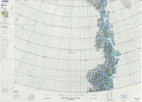 Map of Northeastern Greenland. |
See also
References
- ↑ "Hochstetter Forland". Ramsar Sites Information Service. Retrieved 25 April 2018.
- 1 2 3 "Catalogue of place names in northern East Greenland". Geological Survey of Denmark. Retrieved 1 July 2016.
- 1 2 3 "Norlund Land". Mapcarta. Retrieved 1 July 2016.
- ↑ "Hochstetter Forland". Mapcarta. Retrieved 1 July 2016.
- ↑ "Hochstetter Forland". Ramsar Sites Information Service. Retrieved 1 July 2016.
- ↑ GoogleEarth