Beykeuy
| Beykeuy | |
|---|---|
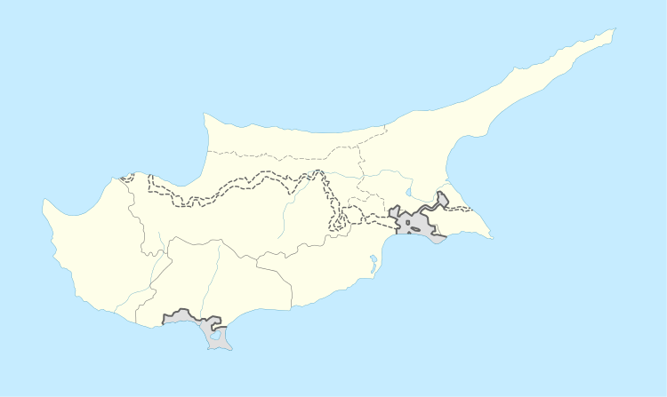 Beykeuy Location in Cyprus | |
| Coordinates: 35°14′11″N 33°30′4″E / 35.23639°N 33.50111°ECoordinates: 35°14′11″N 33°30′4″E / 35.23639°N 33.50111°E | |
| Country |
|
| • District | Nicosia District |
| Country (controlled by) |
|
| • District | Lefkoşa District |
| Time zone | UTC+2 (EET) |
| • Summer (DST) | UTC+3 (EEST) |
Beykeuy or Beyköy (Greek: Μπέικιοι) is a village in the Nicosia District of Cyprus, southeast of Kythrea. De facto,it is under the control of Northern Cyprus.[1][2]

References
- ↑ "Bey Keuy, Cyprus - Geographical Names, map, geographic coordinates". geographic.org. Retrieved 2018-02-21.
- ↑ "BEYKEUY". www.prio-cyprus-displacement.net. Retrieved 2018-02-21.
This article is issued from
Wikipedia.
The text is licensed under Creative Commons - Attribution - Sharealike.
Additional terms may apply for the media files.