Axixá
- not to be confused with Axixá do Tocantins in Tocantins State
| Axixá | |
|---|---|
| Municipality | |
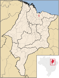 Location in Maranhão state | |
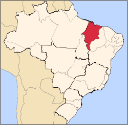
 Axixá Location in Brazil | |
| Coordinates: 2°50′13″S 44°3′10″W / 2.83694°S 44.05278°WCoordinates: 2°50′13″S 44°3′10″W / 2.83694°S 44.05278°W | |
| Country |
|
| Region | Nordeste |
| State | Maranhão |
| Mesoregion | Norte Maranhense |
| Area | |
| • Total | 203.194 km2 (78.454 sq mi) |
| Population (2010) | |
| • Total | 11,425 |
| • Density | 56/km2 (150/sq mi) |
| Time zone | UTC-3 (BRT) |
| • Summer (DST) | UTC-2 (BRST) |
Axixá is a municipality in the state of Maranhão in the Northeast region of Brazil. The main town lies on the left bank of the Munim River, upstream from Icatu.[1]
The municipality contains part of the 1,535,310 hectares (3,793,800 acres) Upaon-Açu/Miritiba/Alto Preguiças Environmental Protection Area, created in 1992.[2]
See also
References
- ↑ Google (9 February 2017). "Axixá" (Map). Google Maps. Google. Retrieved 9 February 2017.
- ↑ APA Upaon-Açu/Miritiba/Alto Preguiças (in Portuguese), ISA: Instituto Socioambiental, retrieved 2017-02-09
External links
- Official site (in Portuguese)
This article is issued from
Wikipedia.
The text is licensed under Creative Commons - Attribution - Sharealike.
Additional terms may apply for the media files.