As-Sultaniyah
| As-Sultaniyah السلطانية | |
|---|---|
| Village | |
 As-Sultaniyah | |
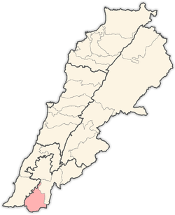
 As-Sultaniyah Location within Lebanon | |
| Coordinates: 33°12′18″N 35°24′19″E / 33.20500°N 35.40528°ECoordinates: 33°12′18″N 35°24′19″E / 33.20500°N 35.40528°E | |
| Grid position | 188/290 PAL |
| Country |
|
| Governorate | Nabatieh Governorate |
| District | Bint Jbeil District |
| Elevation | 600 m (2,000 ft) |
| Time zone | UTC+2 (EET) |
| • Summer (DST) | UTC+3 (EEST) |
As-Sultaniyah (Arabic: السلطانية) is a village in the Bint Jbeil District, in southern Lebanon, located just north of Tebnine. It was earlier called el Yehudiyeh.
Name
According to E. H. Palmer in 1881, El Yehûdîyeh meant "the Jews" or "Jewish woman."[1]
History
In 1881, it was named el Yehudiyeh, and the Palestine Exploration Fund's Survey of Western Palestine (SWP) described it as: "A small village, containing about 100 Metawileh, situated in a valley, with olives, figs, and arable land. There is a spring and cisterns at the village."[2] They further noted that south of the village was a perennial spring, built up with masonry.[3]
References
Bibliography
- Conder, C.R; Kitchener, H.H. (1881). The Survey of Western Palestine: Memoirs of the Topography, Orography, Hydrography, and Archaeology. 1. London: Committee of the Palestine Exploration Fund.
- Palmer, E.H. (1881). The Survey of Western Palestine: Arabic and English Name Lists Collected During the Survey by Lieutenants Conder and Kitchener, R. E. Transliterated and Explained by E.H. Palmer. Committee of the Palestine Exploration Fund.
External links
- Soultaniyeh, Localiban
- Survey of Western Palestine, Map 2: IAA, Wikimedia commons
Capital: Bint Jbeil | ||
| Towns and villages |
|  |
| Notable landmarks | ||
| Other sites | ||
This article is issued from
Wikipedia.
The text is licensed under Creative Commons - Attribution - Sharealike.
Additional terms may apply for the media files.