Andar, Siwan
| Andar आंदर | |
|---|---|
| CD Block | |
 Andar Location in Bihar, India | |
| Coordinates: 26°06′06″N 84°17′26″E / 26.1018°N 84.2905°ECoordinates: 26°06′06″N 84°17′26″E / 26.1018°N 84.2905°E | |
| Country |
|
| State | Bihar |
| District | Siwan |
| Subdivision | Siwan |
| Headquarters | Andar (town) |
| Government | |
| • Type | Community development |
| • Body | Andar Block |
| Area | |
| • Total | 120.41 km2 (46.49 sq mi) |
| Population (2011) | |
| • Total | 110,027 |
| • Density | 910/km2 (2,400/sq mi) |
| Languages | |
| • Official | Bhojpuri, Hindi, Urdu, English |
| Time zone | UTC+5:30 (IST) |
| Sex ratio | 919 per 1000 ♂/♀ |
Andar (Hindi: आंदर) is a Community development block and a town in Siwan district of Bihar in India. It is one out of 13 blocks of Siwan Subdivision. The headquarter of the block is located in Andar town.
The total area of the Block is 120.41 square kilometres (46.49 sq mi) and the total population is 110,027. [1] Andar block is divided into many villages and they are grouped into Gram Panchayats.
Gram Panchayats
List of Panchayats in Andar Block [2]:
See also
External links
References
- ↑ "DISTRICT CENSUS HANDBOOK - Census of India" (PDF). www.censusindia.gov.in. Retrieved 26 June 2018.
- ↑ "Village & Panchayats (Administrative Setup of Siwan District)". www.siwan.nic.in. Retrieved 27 June 2018.
Headquarter: Siwan | ||
| Siwan Subdivision | 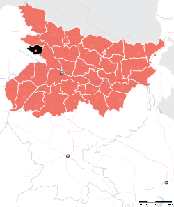 | |
| Maharajganj Subdivision | ||
| Municipalities | ||
This article is issued from
Wikipedia.
The text is licensed under Creative Commons - Attribution - Sharealike.
Additional terms may apply for the media files.