Ainaro
| Ainaro | |
|---|---|
| Town | |
 | |
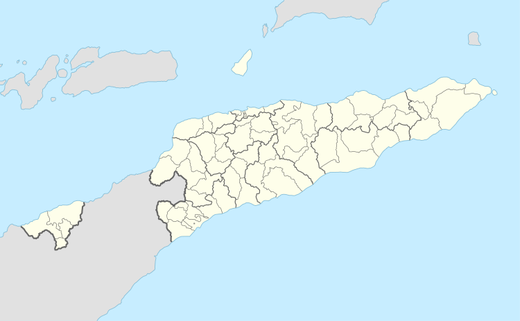 Ainaro Location in East Timor | |
| Coordinates: 8°59′49″S 125°30′18″E / 8.99694°S 125.50500°ECoordinates: 8°59′49″S 125°30′18″E / 8.99694°S 125.50500°E | |
| Country |
|
| Municipality | Ainaro |
| Administrative post | Ainaro |
| Area | |
| • Total | 235.94 km2 (91.10 sq mi) |
| Elevation | 831 m (2,726 ft) |
| Population (2010) | |
| • Total | 15,558 |
| • Density | 66/km2 (170/sq mi) |
| Time zone | UTC+09:00 (TLT) |
| Climate | Am |
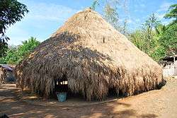
Ainaro is a town in East Timor, the capital of the Ainaro District, and is located in the southwest part of the country. The Ainaro Subdistrict has a population of approximately 14,130 people (2001).[1] It contains the small mountain town of Ainaro, the district capital, along with the sucos of Soro, Maununo, Cassa, Suro Craic, Manutassi, and Mau-Ulo. The town of Ainaro is located 78 km south of Dili, the national capital.
The town of Ainaro's main resources are its delicious organic coffee and aromatic sandalwood trees. It is a diverse community, where Catholics, Protestants, and Muslims are neighbors.
Destruction of Ainaro
During the Indonesian occupation from 1975 to 1999, Ainaro was home to a large contingent of Indonesian military (TNI)-backed pro-Indonesia militias in the months leading up to the 30 August 1999 referendum on independence. As a result, it suffered near-total devastation during the TNI orchestrated scorched earth operation with more than 95 percent of its buildings destroyed.
Sister cities
References
- ↑ "Ainaro & Manatuto Community Activation Project (AMCAP)" (PDF). UNDP Dili, East Timor. 2001. Retrieved 2017-03-07.
External links
![]()