Suai, East Timor
| Suai | |
|---|---|
| Town | |
 | |
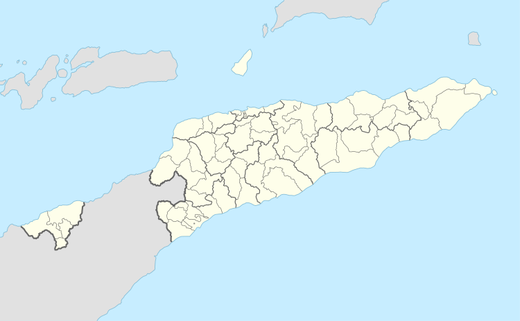 Suai Location in East Timor | |
| Coordinates: 9°18′45″S 125°15′20″E / 9.31250°S 125.25556°ECoordinates: 9°18′45″S 125°15′20″E / 9.31250°S 125.25556°E | |
| Country |
|
| Municipality |
|
| Administrative post | Suai |
| Suco | Debos |
| Area | |
| • Total | 302.60 km2 (116.83 sq mi) |
| Elevation | 13 m (43 ft) |
| Population (2015 census) | |
| • Total | 9,866 |
| • Density | 33/km2 (84/sq mi) |
| Time zone | UTC+09:00 (TLT) |
| Climate | Aw |
Suai is a city in East Timor, in Suai Subdistrict. It has a population of 9,866 and is located 138 kilometres (86 mi) to the southwest of Dili, the national capital. Suai is the capital of the Cova Lima District, which is in the southwest of the country. It is located just a few kilometers from the Timor Sea, on the south side of the island.
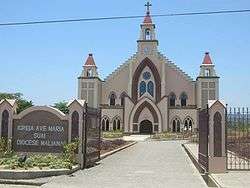
Suai was the location of the Suai Church Massacre in September 1999. It was one of a number of massacres perpetrated by a pro-Indonesia militia in the time of the Indonesian withdrawal of East Timor.
Following the events of 1999, Suai entered into a friendship program with Port Phillip, a bayside district of Melbourne in Australia. Together they are working towards assisting the community of Suai recover.
External links
- "Suai Media Space". Retrieved 2009-01-07.