Aiguille des Glaciers
| Aiguille des Glaciers | |
|---|---|
 | |
| Highest point | |
| Elevation | 3,816 m (12,520 ft) |
| Coordinates | 45°46′43″N 06°48′09″E / 45.77861°N 6.80250°ECoordinates: 45°46′43″N 06°48′09″E / 45.77861°N 6.80250°E |
| Geography | |
 Aiguille des Glaciers Location in the Alps | |
| Location |
Savoie and Haute-Savoie, France Aosta Valley, Italy |
| Parent range | Mont Blanc Massif |
| Climbing | |
| First ascent | 2 August 1878 by E. Del Carretto, Francesco Gonella, Laurent Proment, Ange Henry and Gratien Henry |
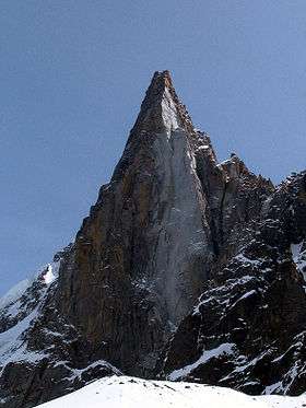
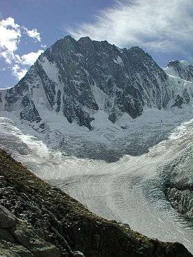
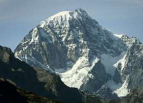
The Aiguille des Glaciers (Italian: Aiguille des Glaciers) (3,816 m) is a mountain in the Mont Blanc massif of the Alps, falling within Savoie and Haute-Savoie, France and the Aosta Valley, Italy.
On 1 November 1946 a B-17 Flying Fortress crashed into the Aiguille des Glaciers, killing all 8 crew members. The crash site was not discovered until July 1947, when remains were found at an altitude of 3,700 metres (12,000 ft)[1]
See also
References
- ↑ "Overview". B17 MontBlanc. Committee for the Commemoration of the B17 of the Aiguille des Glaciers. Retrieved 15 June 2016.
This article is issued from
Wikipedia.
The text is licensed under Creative Commons - Attribution - Sharealike.
Additional terms may apply for the media files.