Abou-Deïa Airport
| Abou-Deïa Airport | |||||||||||
|---|---|---|---|---|---|---|---|---|---|---|---|
| Summary | |||||||||||
| Airport type | Public | ||||||||||
| Operator | Government | ||||||||||
| Serves | Abou-Deïa, Chad | ||||||||||
| Elevation AMSL | 480 m / 1,575 ft | ||||||||||
| Coordinates | 11°28′N 019°17′E / 11.467°N 19.283°ECoordinates: 11°28′N 019°17′E / 11.467°N 19.283°E | ||||||||||
| Map | |||||||||||
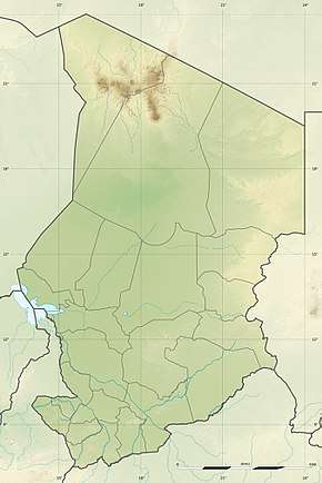 Abou-Deïa Location of airport in Chad | |||||||||||
| Runways | |||||||||||
| |||||||||||
Abou-Deïa Airport (IATA: AOD) (Arabic: مطار أبو ديا) is an airstrip serving Abou-Deïa, a town in the Salamat Region in Chad. The town and airport name may also be transliterated as Aboudeïa.
Facilities
The airport resides at an elevation of 480 metres (1,575 ft) above mean sea level. It has one runway designated 11/29 with a clay surface measuring 1,400 by 42 metres (4,593 ft × 138 ft).[1]
References
- 1 2 "AD 2-7-01: Abou-Deïa" (PDF). Index of aerodromes in Chad. AIS ASECNA. 28 July 2011.
This article is issued from
Wikipedia.
The text is licensed under Creative Commons - Attribution - Sharealike.
Additional terms may apply for the media files.