Pala Airport
| Pala Airport | |||||||||||
|---|---|---|---|---|---|---|---|---|---|---|---|
| Summary | |||||||||||
| Airport type | Public | ||||||||||
| Serves | Pala | ||||||||||
| Location |
| ||||||||||
| Elevation AMSL | 1,493 ft / 455 m | ||||||||||
| Coordinates | 09°22′48.1″N 014°55′33.5″E / 9.380028°N 14.925972°ECoordinates: 09°22′48.1″N 014°55′33.5″E / 9.380028°N 14.925972°E | ||||||||||
| Map | |||||||||||
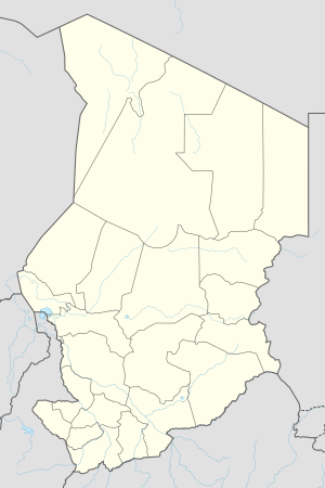 FTTP Location of Pala Airport in Chad | |||||||||||
| Runways | |||||||||||
| |||||||||||
Pala Airport (IATA: PLF, ICAO: FTTP) (Arabic: مطار بالا) is a public use airport located near Pala, Mayo-Kebbi Ouest, Chad.
See also
References
- ↑ Airport record for Pala Airport at Landings.com. Retrieved 2013-08-28
- ↑ Google (2013-08-28). "location of Pala Airport" (Map). Google Maps. Google. Retrieved 2013-08-28.
External links
- Airport record for Pala Airport at Landings.com
This article is issued from
Wikipedia.
The text is licensed under Creative Commons - Attribution - Sharealike.
Additional terms may apply for the media files.