Iriba Airport
| Iriba Airport | |||||||||||
|---|---|---|---|---|---|---|---|---|---|---|---|
| Summary | |||||||||||
| Airport type | Public | ||||||||||
| Owner | Government | ||||||||||
| Serves | Iriba | ||||||||||
| Location |
| ||||||||||
| Elevation AMSL | 3,061 ft / 933 m | ||||||||||
| Coordinates | 15°8′2.7″N 022°13′15.7″E / 15.134083°N 22.221028°ECoordinates: 15°8′2.7″N 022°13′15.7″E / 15.134083°N 22.221028°E | ||||||||||
| Map | |||||||||||
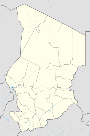 Iriba Location of Iriba Airport in Chad | |||||||||||
| Runways | |||||||||||
| |||||||||||
Iriba Airport is a public use airport located near Iriba, Wadi Fira, Chad.
See also
References
- ↑ Airport record for Iriba Airport at Landings.com. Retrieved 2013-08-28
- ↑ Google (2013-08-28). "location of Iriba Airport" (Map). Google Maps. Google. Retrieved 2013-08-28.
External links
- Airport record for Iriba Airport at Landings.com
This article is issued from
Wikipedia.
The text is licensed under Creative Commons - Attribution - Sharealike.
Additional terms may apply for the media files.