Kébir Airport
| Kébir Airport | |||||||||||
|---|---|---|---|---|---|---|---|---|---|---|---|
| Summary | |||||||||||
| Airport type | Public | ||||||||||
| Serves | Ounianga, Chad | ||||||||||
| Elevation AMSL | 418 m / 1,371 ft | ||||||||||
| Coordinates | 18°58′N 020°30′E / 18.967°N 20.500°ECoordinates: 18°58′N 020°30′E / 18.967°N 20.500°E | ||||||||||
| Map | |||||||||||
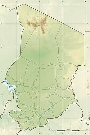 Kébir Location of airport in Chad | |||||||||||
| Runways | |||||||||||
| |||||||||||
Kébir Airport (Arabic: مطار كبير) is an airstrip serving Ounianga,[1] a town in the Ennedi-Ouest Region of northern Chad.
Facilities
The airport resides at an elevation of 418 metres (1,371 ft) above mean sea level. It has one runway designated 04/22 with a sand surface measuring 1,320 by 20 metres (4,331 ft × 66 ft).[1]
References
- 1 2 3 "CHAD: AD 2-7-01 Index to aerodromes" (PDF). AIS ASECNA. 28 July 2011. External link in
|publisher=(help)
This article is issued from
Wikipedia.
The text is licensed under Creative Commons - Attribution - Sharealike.
Additional terms may apply for the media files.