8th meridian west

8th meridian west

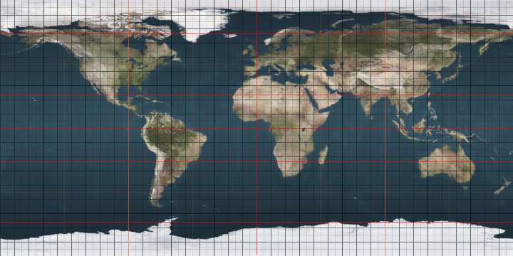
The meridian 8° west of Greenwich is a line of longitude that extends from the North Pole across the Arctic Ocean, the Atlantic Ocean, Europe, Africa, the Southern Ocean, and Antarctica to the South Pole.

The 8th meridian west forms a great circle with the 172nd meridian east.

From Pole to Pole

Starting at the North Pole and heading south to the South Pole, the 8th meridian west passes through:

Co-ordinates Country, territory or sea Notes
90°0′N 8°0′W / 90.000°N 8.000°W / 90.000; -8.000 (Arctic Ocean) Arctic Ocean
82°5′N 8°0′W / 82.083°N 8.000°W / 82.083; -8.000 (Atlantic Ocean) Atlantic Ocean
71°9′N 8°0′W / 71.150°N 8.000°W / 71.150; -8.000 (Norway)  Norway Island of Jan Mayen
71°1′N 8°0′W / 71.017°N 8.000°W / 71.017; -8.000 (Atlantic Ocean) Atlantic Ocean Passing just west of the island of Mykines,  Faroe Islands (at 62°6′N 7°40′W / 62.100°N 7.667°W / 62.100; -7.667 (Mykines))
Passing just west of the Monach Islands, Scotland,  United Kingdom (at 57°31′N 7°40′W / 57.517°N 7.667°W / 57.517; -7.667 (Monach Islands))
Passing just west of the island of Mingulay, Scotland,  United Kingdom (at 56°48′N 7°40′W / 56.800°N 7.667°W / 56.800; -7.667 (Mingulay))
55°13′N 8°0′W / 55.217°N 8.000°W / 55.217; -8.000 (Ireland)  Ireland
54°32′N 8°0′W / 54.533°N 8.000°W / 54.533; -8.000 (United Kingdom)  United Kingdom Northern Ireland
54°21′N 8°0′W / 54.350°N 8.000°W / 54.350; -8.000 (Ireland)  Ireland Passing just west of Athlone (at 53°25′N 7°56′W / 53.417°N 7.933°W / 53.417; -7.933 (Athlone))
51°51′N 8°0′W / 51.850°N 8.000°W / 51.850; -8.000 (Atlantic Ocean) Atlantic Ocean
43°42′N 8°0′W / 43.700°N 8.000°W / 43.700; -8.000 (Spain)  Spain
41°50′N 8°0′W / 41.833°N 8.000°W / 41.833; -8.000 (Portugal)  Portugal
37°0′N 8°0′W / 37.000°N 8.000°W / 37.000; -8.000 (Atlantic Ocean) Atlantic Ocean
33°28′N 8°0′W / 33.467°N 8.000°W / 33.467; -8.000 (Morocco)  Morocco Passing through Marrakesh (at 31°38′N 8°0′W / 31.633°N 8.000°W / 31.633; -8.000 (Marrakesh))
29°7′N 8°0′W / 29.117°N 8.000°W / 29.117; -8.000 (Algeria)  Algeria
26°55′N 8°0′W / 26.917°N 8.000°W / 26.917; -8.000 (Mauritania)  Mauritania
15°30′N 8°0′W / 15.500°N 8.000°W / 15.500; -8.000 (Mali)  Mali Passing through Bamako (at 12°38′N 8°0′W / 12.633°N 8.000°W / 12.633; -8.000 (Bamako))
10°20′N 8°0′W / 10.333°N 8.000°W / 10.333; -8.000 (Guinea)  Guinea
10°8′N 8°0′W / 10.133°N 8.000°W / 10.133; -8.000 (Côte d'Ivoire)  Ivory Coast
9°24′N 8°0′W / 9.400°N 8.000°W / 9.400; -8.000 (Guinea)  Guinea
8°29′N 8°0′W / 8.483°N 8.000°W / 8.483; -8.000 (Côte d'Ivoire)  Ivory Coast
8°12′N 8°0′W / 8.200°N 8.000°W / 8.200; -8.000 (Guinea)  Guinea For about 3 km
8°10′N 8°0′W / 8.167°N 8.000°W / 8.167; -8.000 (Côte d'Ivoire)  Ivory Coast For about 9 km
8°5′N 8°0′W / 8.083°N 8.000°W / 8.083; -8.000 (Guinea)  Guinea For about 6 km
8°2′N 8°0′W / 8.033°N 8.000°W / 8.033; -8.000 (Côte d'Ivoire)  Ivory Coast
6°19′N 8°0′W / 6.317°N 8.000°W / 6.317; -8.000 (Liberia)  Liberia
4°31′N 8°0′W / 4.517°N 8.000°W / 4.517; -8.000 (Atlantic Ocean) Atlantic Ocean
60°0′S 8°0′W / 60.000°S 8.000°W / -60.000; -8.000 (Southern Ocean) Southern Ocean
70°40′S 8°0′W / 70.667°S 8.000°W / -70.667; -8.000 (Antarctica) Antarctica Queen Maud Land, claimed by  Norway

Ordnance Survey Ireland

The Irish grid reference system uses the point 53°30′N 8°0′W / 53.500°N 8.000°W / 53.500; -8.000 as its true origin.[1]

See also

References

  1. Leahy, Derek (26 September 2008). "Irish Grid Reference System". Ordnance Survey Ireland : 185 years of innovation in mapping. Dublin: Ordnance Survey Ireland. Retrieved 14 August 2009.
This article is issued from Wikipedia. The text is licensed under Creative Commons - Attribution - Sharealike. Additional terms may apply for the media files.